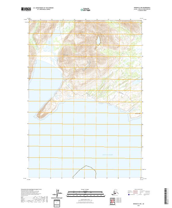
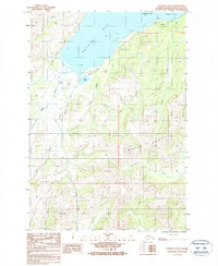
2021 Map of Kodiak B-2 NE
USGS Topo · Published 2021About this map
Narrow Cape marks the southern reach of this coastal landscape on Kodiak Island, where the terrain drops away into the vast Gulf of Alaska. The interior geography is defined by a network of freshwater bodies including Lake Rose Teed, Bull Lake, and Lupin Lake, which are clustered near the coast. A single primary artery, Pasagshak Road, winds through the valleys between steep ridges, providing the only terrestrial access through this maritime environment. To the east, the coastal margin transitions into the brackish waters of Barry Lagoon and the small coastal basins of Twin Lakes, illustrating the complex drainage patterns of the island's southeastern edge.
Find a feature on this map
13 named features on this map. Tap any name to fly to it.
Don’t see what you’re looking for? This feature index may not catch every label — zoom into the map to look around manually.
Map Details
Editions of this 2021 Kodiak B-2 NE Map
This is the sole edition of this map. No revisions or reprints were ever made.
Other maps of this area

1949 · Kodiak C-2
USGS Topo · 1:63,360

1949 · Kodiak B-1 and B-2
USGS Topo · 1:63,360

1949 · Kodiak C-1
USGS Topo · 1:63,360

1951 · Kodiak B-1 and B-2
USGS Topo · 1:63,360

1951 · Kodiak C-1
USGS Topo · 1:63,360

1952 · Kodiak
USGS Topo · 1:250,000
1987 · Kodiak C-1 SW
USGS Topo · 1:25,000
1987 · Kodiak B-2 NE
USGS Topo · 1:25,000
1987 · Kodiak B-1 NW
USGS Topo · 1:25,000
1987 · Kodiak C-2 SE
USGS Topo · 1:25,000