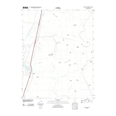
2011 Map of Kolob Arch
USGS Topo · Published 2011About this map
Zion National Park encompasses a significant portion of this terrain, where massive vertical features like Nagunt Mesa and Timber Top Mountain rise above the drainage of La Verkin Creek. The eastern half of the map is defined by the high, isolated plateaus and the span of Kolob Arch, while the western edge transitions toward the lower Hurricane Cliffs. Cultural remnants such as Smith Cabin and Larson Cabin sit near the park's eastern boundary, reflecting the region's history of high-country ranching and habitation.
Find a feature on this map
49 named features on this map. Tap any name to fly to it.
Don’t see what you’re looking for? This feature index may not catch every label — zoom into the map to look around manually.
Map Details
Editions of this 2011 Kolob Arch Map
This is the sole edition of this map. No revisions or reprints were ever made.
Other maps of this area

1885 · St. George
USGS Topo · 1:250,000

1891 · St. George
USGS Topo · 1:250,000

1950 · Kanarraville
USGS Topo · 1:24,000

1950 · Iron Mountain
USGS Topo · 1:62,500

1950 · Cedar City
USGS Topo · 1:62,500

1950 · Cedar Mountain
USGS Topo · 1:24,000

1950 · Stoddard Mtn
USGS Topo · 1:24,000

1951 · Kanarraville
USGS Topo · 1:24,000

1951 · Stoddard Mtn
USGS Topo · 1:24,000

1952 · Cedar Mountain
USGS Topo · 1:24,000