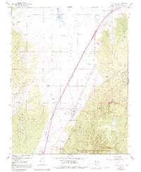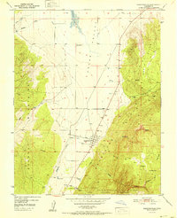
1951 Map of Kanarraville
USGS Topo · Published 1951About this map
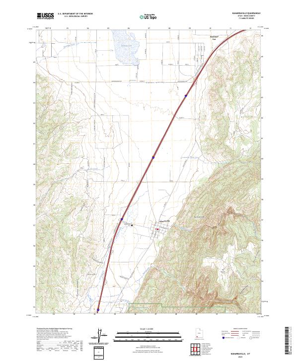
Kanarraville sits at the geological junction where the Cedar Valley meets the dramatic ascent of the Hurricane Cliffs. Surveyed in the early 1950s, this map documents a landscape defined by water management and topography, showing a network of reservoirs, Mud Springs, and the seasonal extent of Quichapa Lake. The settlement pattern follows the base of the cliffs, with the local Cemetery and various irrigation features situated along Kanarra Creek as it emerges from the highlands.
Find a feature on this map
23 named features on this map. Tap any name to fly to it.
Don’t see what you’re looking for? This feature index may not catch every label — zoom into the map to look around manually.
Map Details
Editions of this 1951 Kanarraville Map
This is the sole edition of this map. No revisions or reprints were ever made.
Historical Maps of Cedar City Through Time
7 maps found