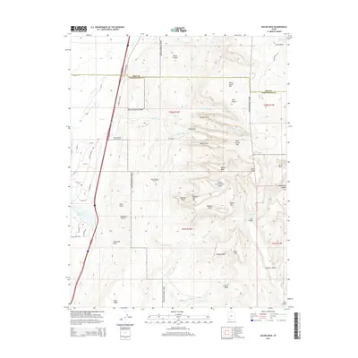
2014 Map of Kolob Arch
USGS Topo · Published 2014About this map
Zion National Park dominates this 2014 survey, highlighting the dramatic verticality of the Washington County landscape. The namesake Kolob Arch is a central landmark among the towering formations of Timber Top Mtn and Shuntavi Butte. These sandstone monoliths are separated by deep drainage systems like Timber Cr and La Verkin Cr, which have carved out the distinctive topography that defines this section of the Colorado Plateau.
Find a feature on this map
65 named features on this map. Tap any name to fly to it.
Don’t see what you’re looking for? This feature index may not catch every label — zoom into the map to look around manually.
Map Details
Editions of this 2014 Kolob Arch Map
This is the sole edition of this map. No revisions or reprints were ever made.
Other maps of this area

1885 · St. George
USGS Topo · 1:250,000

1891 · St. George
USGS Topo · 1:250,000

1950 · Kanarraville
USGS Topo · 1:24,000

1950 · Iron Mountain
USGS Topo · 1:62,500

1950 · Cedar City
USGS Topo · 1:62,500

1950 · Cedar Mountain
USGS Topo · 1:24,000

1950 · Stoddard Mtn
USGS Topo · 1:24,000

1951 · Kanarraville
USGS Topo · 1:24,000

1951 · Stoddard Mtn
USGS Topo · 1:24,000

1952 · Cedar Mountain
USGS Topo · 1:24,000