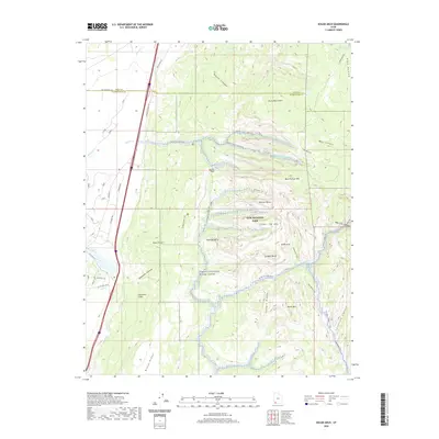
2020 Map of Kolob Arch
USGS Topo · Published 2020About this map
Zion National Park dominates this modern topographical study, revealing the complex drainage systems and massive geological formations of Washington County. The Virgin Wild and Scenic River carves through the southern portion of the map, while prominent landmarks like Kolob Arch, Nagunt Mesa, and Timber Top Mtn highlight the verticality of the terrain. The presence of the Hurricane Cliffs and Black Ridge underscores the dramatic transition in the landscape, shaped by the Ash Creek and Taylor Creek watersheds.
Find a feature on this map
50 named features on this map. Tap any name to fly to it.
Don’t see what you’re looking for? This feature index may not catch every label — zoom into the map to look around manually.
Map Details
Editions of this 2020 Kolob Arch Map
This is the sole edition of this map. No revisions or reprints were ever made.
Other maps of this area

1885 · St. George
USGS Topo · 1:250,000

1891 · St. George
USGS Topo · 1:250,000

1950 · Kanarraville
USGS Topo · 1:24,000

1950 · Iron Mountain
USGS Topo · 1:62,500

1950 · Cedar City
USGS Topo · 1:62,500

1950 · Cedar Mountain
USGS Topo · 1:24,000

1950 · Stoddard Mtn
USGS Topo · 1:24,000

1951 · Kanarraville
USGS Topo · 1:24,000

1951 · Stoddard Mtn
USGS Topo · 1:24,000

1952 · Cedar Mountain
USGS Topo · 1:24,000