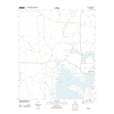
2012 Map of Koran
USGS Topo · Published 2012About this map
Koran and its surrounding countryside in Bossier Parish are defined by the winding drainages of Clarke Bayou and Foxskin Bayou, which feed into the larger waters of Tadpole Lake to the south. This 2012 survey illustrates a landscape deeply connected to its local heritage, evidenced by a high density of family and community burial grounds including Jerusalem Cem, Gilmer Cem, and Saint Pauls Cem. The southern shoreline of the lake features small waterside developments such as Fairview Landing and Plum Orchard Landing, situated near Adam Point. North of the settlement, a network of parish roads such as Camp Zion Rd and Pilgrim Rest Rd connects timberlands and rural homesteads, while Peggys Island sits at the southern extent of the map's coverage.
Find a feature on this map
94 named features on this map. Tap any name to fly to it.
Don’t see what you’re looking for? This feature index may not catch every label — zoom into the map to look around manually.
Map Details
Editions of this 2012 Koran Map
This is the sole edition of this map. No revisions or reprints were ever made.
Other maps of this area

1932 · Bossier SE
USGS Topo · 1:31,680

1938 · Arnsberg
USGS Topo · 1:31,680

1941 · Bossier Point
USGS Topo · 1:31,680

1947 · Ringgold
USGS Topo · 1:62,500

1947 · Minden
USGS Topo · 1:62,500

1948 · Bossier City
USGS Topo · 1:62,500

1948 · Caspiana
USGS Topo · 1:62,500

1949 · Minden
USGS Topo · 1:62,500

1955 · Shreveport
USGS Topo · 1:250,000

1955 · Caspiana
USGS Topo · 1:62,500