
1965 Map of Kosse West
USGS Topo · Published 1969About this map
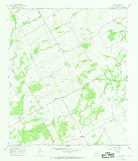
Agricultural lands and creek drainages define this mid-1960s landscape along the Limestone Co Falls Co border. Small settlements like Stranger and Alto Springs anchor the rural landscape, which is marked by a network of local roads such as Broadway Road and Harvey Road. The eastern edge of the quadrangle is defined by the Southern Pacific railroad corridor, running north through Kosse and past the small community of Mustang. This area shows a high density of local landmarks significant to genealogists, including Antioch Cem and Garrett Cem. Waterways such as the Little Brazos River and Polecat Creek wind through the terrain, while industrial activity is noted at several Quarries and a Drill Hole. The presence of several churches, including St Paul Ch and New Hope Ch, suggests the social centers of these outlying communities during the mid-century era.
Find a feature on this map
38 named features on this map. Tap any name to fly to it.
Don’t see what you’re looking for? This feature index may not catch every label — zoom into the map to look around manually.
Map Details
Editions of this 1965 Kosse West Map
This is the sole edition of this map. No revisions or reprints were ever made.
Other maps of this area

1954 · Waco
USGS Topo · 1:250,000

1955 · Waco
USGS Topo · 1:250,000

1957 · Otto
USGS Topo · 1:24,000

1957 · McClanahan
USGS Topo · 1:24,000

1962 · Reagan
USGS Topo · 1:24,000

1962 · Bremond
USGS Topo · 1:24,000

1962 · Petteway
USGS Topo · 1:24,000

1966 · Thornton
USGS Topo · 1:24,000
1966 · Odds
USGS Topo · 1:24,000
1966 · Kosse East
USGS Topo · 1:24,000