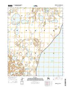
2014 Map of Kotzebue B-4 NW
USGS Topo · Published 2014About this map
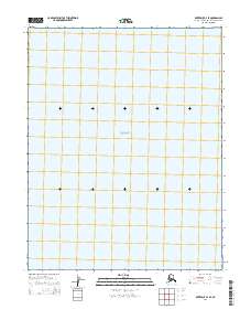
Bering Land Bridge National Preserve dominates this coastal landscape on the Seward Peninsula, protecting a vast stretch of tundra and tidal flats. The western shoreline meets the brackish waters of Kotzebue Sound, where the transition from land to sea is marked by a complex network of thaw lakes and wetlands. Flowing through the preserve, Kungealarook Cr meanders toward the coast, illustrating the low-relief drainage patterns typical of this arctic region. The map provides a detailed view of the Public Land Survey System grid across townships such as t12n r24w and t13n r25w, offering a clear look at the jurisdictional boundaries of this protected wilderness during the early 21st century.
Find a feature on this map
9 named features on this map. Tap any name to fly to it.
Don’t see what you’re looking for? This feature index may not catch every label — zoom into the map to look around manually.
Map Details
Editions of this 2014 Kotzebue B-4 NW Map
This is the sole edition of this map. No revisions or reprints were ever made.
Other maps of this area
1950 · Kotzebue C-5
USGS Topo · 1:63,360

1950 · Kotzebue B-4
USGS Topo · 1:63,360

1950 · Kotzebue B-5
USGS Topo · 1:63,360
1950 · Kotzebue C-4
USGS Topo · 1:63,360

1951 · Kotzebue
USGS Topo · 1:250,000

1958 · Kotzebue
USGS Topo · 1:250,000

1964 · Kotzebue
USGS Topo · 1:250,000
2014 · Kotzebue C-4 SE
USGS Topo · 1:25,000
2014 · Kotzebue B-4 SE
USGS Topo · 1:25,000
2014 · Kotzebue B-5 SE
USGS Topo · 1:25,000