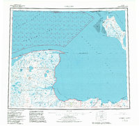
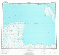
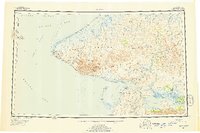
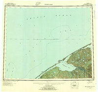
1951 Map of Kotzebue
USGS Topo · Published 1982About this map
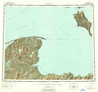
Kotzebue sits at the tip of the Baldwin Peninsula, serving as a vital Arctic hub where the Chukchi Sea meets the complex waters of Kotzebue Sound. This 1951 survey, revised through 1982, illustrates the intersection of indigenous land use and federal conservation, encompassing the Bering Land Bridge National Preserve and Cape Krusenstern Nat Mon. The landscape is defined by its dramatic coastal geography, from the Noatak River Delta to the isolated settlements of Deering and Espenberg.
Find a feature on this map
58 named features on this map. Tap any name to fly to it.
Don’t see what you’re looking for? This feature index may not catch every label — zoom into the map to look around manually.
Map Details
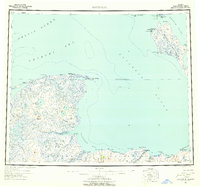
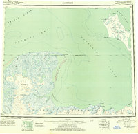
Editions of this 1951 Kotzebue Map
5 editions found
Other maps of this area
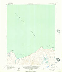
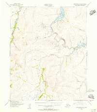
1950 · Kotzebue A-1
USGS Topo · 1:63,360
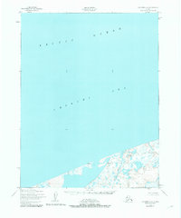
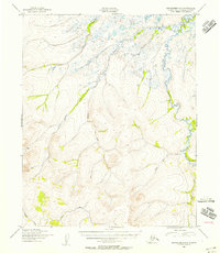
1950 · Kotzebue C-6
USGS Topo · 1:63,360
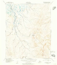
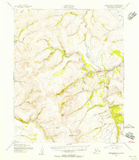
1950 · Bendeleben D-6
USGS Topo · 1:63,360
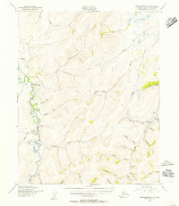
1950 · Bendeleben D-2
USGS Topo · 1:63,360
1950 · Teller
USGS Topo · 1:250,000
1950 · Bendeleben D-5
USGS Topo · 1:63,360
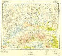
1950 · Bendeleben
USGS Topo · 1:250,000
1950 · Bendeleben D-3
USGS Topo · 1:63,360
1950 · Bendeleben D-1
USGS Topo · 1:63,360
1950 · Shishmaref
USGS Topo · 1:250,000