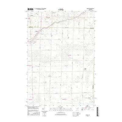
2016 Map of Krakow
USGS Topo · Published 2016About this map
Oconto River meanders through the northern reaches of this Wisconsin landscape, where the boundary between Oconto and Shawano Counties defines the local geography. The area is characterized by a network of small agricultural settlements and rural junctions, with Krakow situated in the southeast corner and Green Valley to its north. Further west, the crossroads of Advance and the village of Pulcifer serve as local hubs for the surrounding farmstead roads.
Find a feature on this map
73 named features on this map. Tap any name to fly to it.
Don’t see what you’re looking for? This feature index may not catch every label — zoom into the map to look around manually.
Map Details
Editions of this 2016 Krakow Map
This is the sole edition of this map. No revisions or reprints were ever made.
Other maps of this area

1954 · Green Bay
USGS Topo · 1:62,500

1955 · Seymour
USGS Topo · 1:62,500

1955 · Green Bay
USGS Topo · 1:250,000

1956 · Gillett
USGS Topo · 1:62,500

1956 · Oconto Falls
USGS Topo · 1:62,500

1974 · Cecil
USGS Topo · 1:24,000
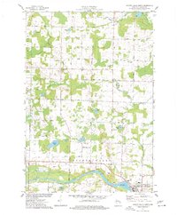
1974 · Oconto Falls North
USGS Topo · 1:24,000
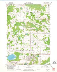
1974 · Gillett
USGS Topo · 1:24,000
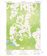
1974 · Berry Lake
USGS Topo · 1:24,000

1974 · Zachow
USGS Topo · 1:24,000