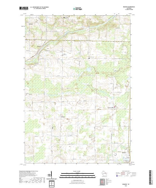
2022 Map of Krakow
USGS Topo · Published 2022About this map
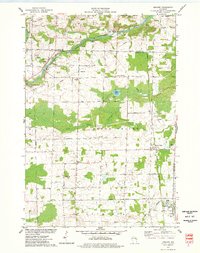
The Oconto River winds across the northern landscape of this region, which straddles the boundary between Oconto and Shawano counties. This rural patchwork of the early 2020s is anchored by small, dispersed settlements like Mosling, Pulcifer, and Green Valley, each connected by a grid of namesake farm roads. Genealogists and local historians can find several significant burial grounds, including Saint John Catholic Cem and Bethel West Cem, which often represent the early religious centers of these farming communities.
Find a feature on this map
78 named features on this map. Tap any name to fly to it.
Don’t see what you’re looking for? This feature index may not catch every label — zoom into the map to look around manually.
Map Details
Editions of this 2022 Krakow Map
This is the sole edition of this map. No revisions or reprints were ever made.