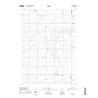
2017 Map of Kranzburg
USGS Topo · Published 2017About this map
Waverly and Kranzburg anchor this segment of the eastern South Dakota plains, situated upon the distinct geological upland known as the Coteau des Prairies. The landscape is defined by a rigorous grid of section-line roads such as 462nd Ave and 170th St, which partition the agricultural landscape between the drainages of Willow Cr and Stray Horse Cr.
Find a feature on this map
47 named features on this map. Tap any name to fly to it.
Don’t see what you’re looking for? This feature index may not catch every label — zoom into the map to look around manually.
Map Details
Editions of this 2017 Kranzburg Map
This is the sole edition of this map. No revisions or reprints were ever made.
Other maps of this area

1953 · Milbank
USGS Topo · 1:250,000

1953 · Watertown
USGS Topo · 1:250,000

1958 · Milbank
USGS Topo · 1:250,000

1958 · Watertown
USGS Topo · 1:250,000

1969 · Watertown SE
USGS Topo · 1:24,000

1969 · Watertown East
USGS Topo · 1:24,000

1970 · Kranzburg SW
USGS Topo · 1:24,000

1970 · Kranzburg
USGS Topo · 1:24,000

1970 · Bemis
USGS Topo · 1:24,000

1970 · Goodwin
USGS Topo · 1:24,000