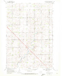
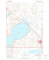
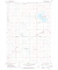
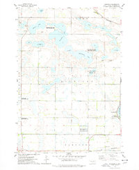
1970 Map of Kranzburg SW
USGS Topo · Published 1972This historical map portrays the area of Kranzburg SW in 1970, primarily covering Codington County as well as portions of Hamlin County and Deuel County. Featuring a scale of 1:24000, this map provides a highly detailed snapshot of the terrain, roads, buildings, counties, and historical landmarks in the Kranzburg SW region at the time. Published in 1972, it is one of 2 known editions of this map due to revisions or reprints.
Find a feature on this map
12 named features on this map. Tap any name to fly to it.
Don’t see what you’re looking for? This feature index may not catch every label — zoom into the map to look around manually.
Map Details
Editions of this 1970 Kranzburg SW Map
2 editions found
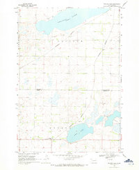
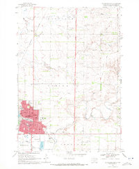
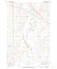
Historical Maps of Deuel County Through Time
9 maps found
1969 Pelican Lake
Codington County, SD
1969 Watertown East
Codington County, SD
1969 Watertown SE
Codington County, SD
1969 Watertown West
Codington County, SD
1970 Kranzburg SW
Codington County, SD
1970 Still Lake
Codington County, SD
1970 Still Lake SE
Codington County, SD
1973 Grover
Codington County, SD
1973 Kampeska
Codington County, SD
Featured Locations
- Codington County, SD
- Goodwin Township, SD
- Havana Township, SD
- Kranzburg South Township, SD
- Hamlin Township, SD