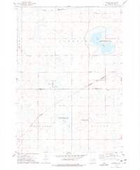
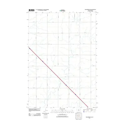
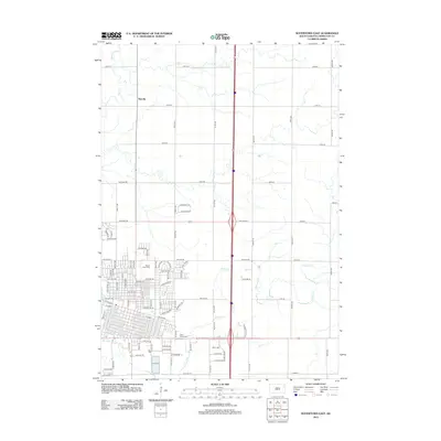
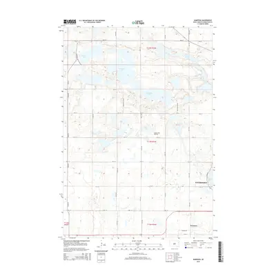
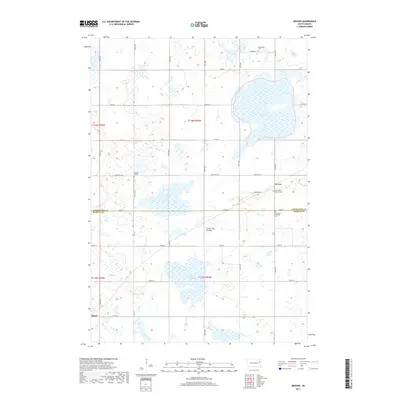
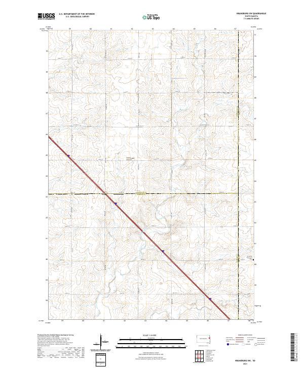
1970 Map of Kranzburg SW
USGS Topo · Published 1982About this map
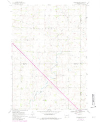
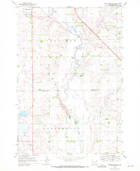
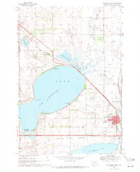
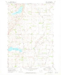
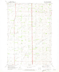
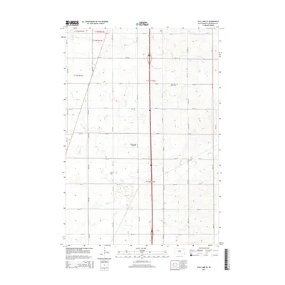
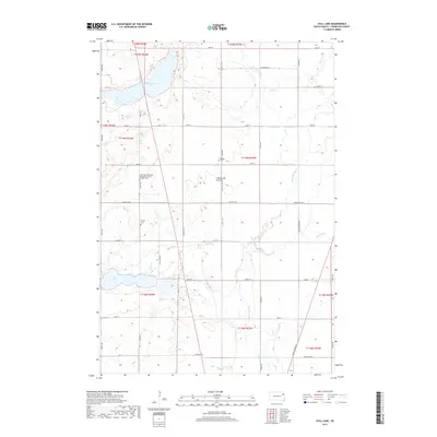
Stray Horse Creek meanders through the undulating agricultural landscape of the Kranzburg and Havana townships, defining the local drainage and topography in the early 1970s. This survey captures a rural prairie environment at the intersection of Codington, Deuel, and Hamlin counties, where land division is marked by an extensive network of section lines and fences. A prominent Railroad Grade cuts through the northeastern terrain, indicating former transit corridors that once served the grain-producing regions near Goodwin. Evidence of local administration and industry is scattered across the township, from the centrally located Townhall in Hamlin County to various Gravel Pit excavations and isolated wells that supported the area's farming economy and rural infrastructure during this period of South Dakota's development.
Find a feature on this map
11 named features on this map. Tap any name to fly to it.
Don’t see what you’re looking for? This feature index may not catch every label — zoom into the map to look around manually.
Map Details
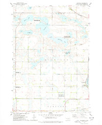
Editions of this 1970 Kranzburg SW Map
2 editions found
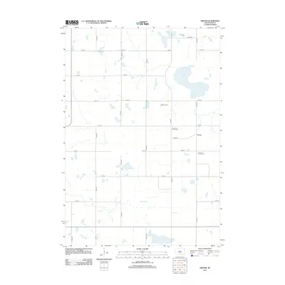
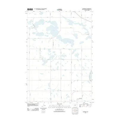
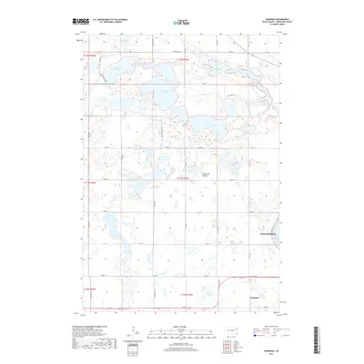
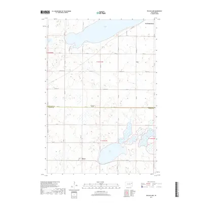
Historical Maps of Kranzburg South Township Through Time
45 maps found
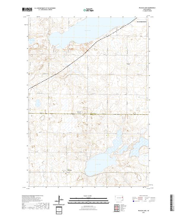
1969 Pelican Lake
Codington County, SD
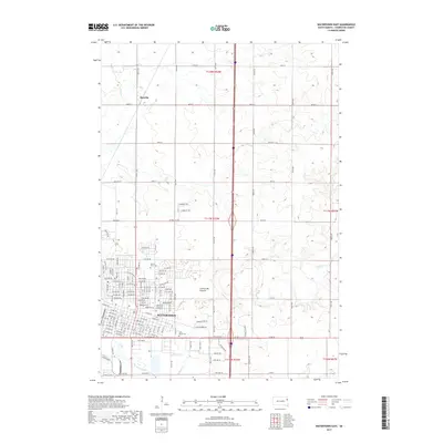
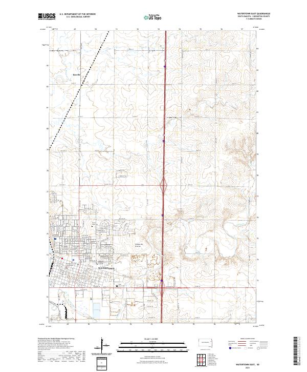
1969 Watertown East
Codington County, SD
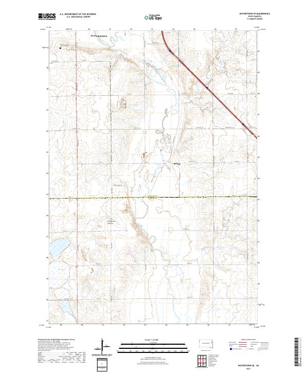
1969 Watertown SE
Codington County, SD
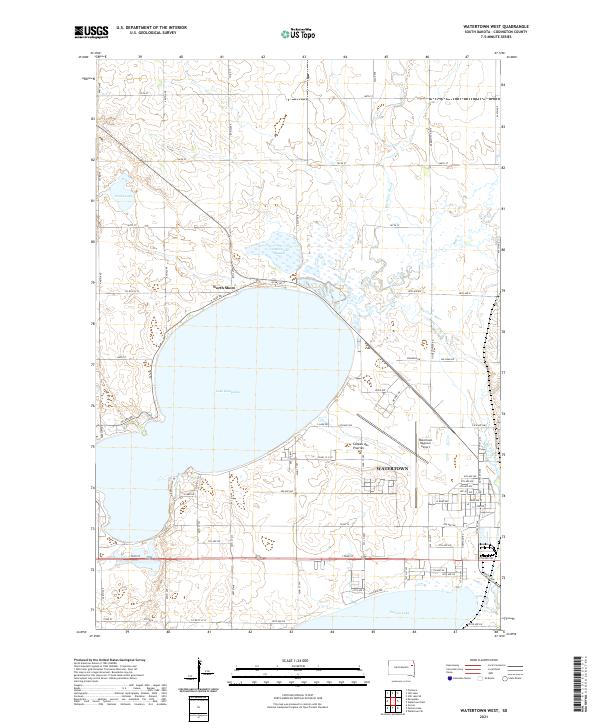
1969 Watertown West
Codington County, SD
1970 Kranzburg SW
Codington County, SD
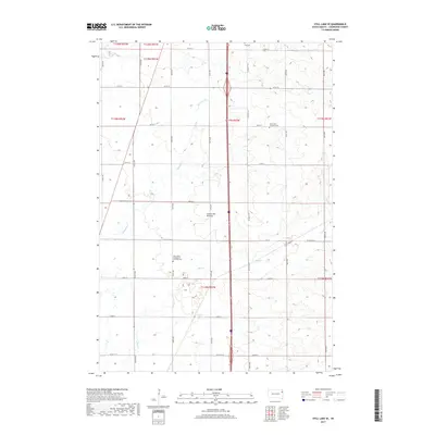
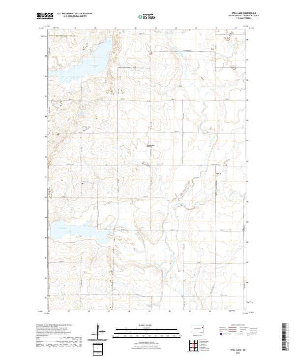
1970 Still Lake
Codington County, SD
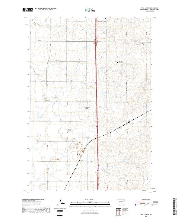
1970 Still Lake SE
Codington County, SD
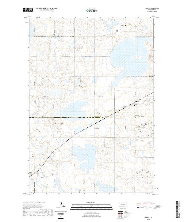
1973 Grover
Codington County, SD
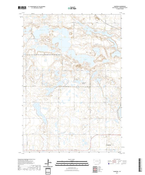
1973 Kampeska
Codington County, SD
2012 Grover
Codington County, SD
2012 Kampeska
Codington County, SD
2012 Kranzburg SW
Codington County, SD
2012 Pelican Lake
Codington County, SD
2012 Still Lake
Codington County, SD
2012 Still Lake SE
Codington County, SD
2012 Watertown East
Codington County, SD
2012 Watertown SE
Codington County, SD
2012 Watertown West
Codington County, SD
2015 Grover
Codington County, SD
2015 Kampeska
Codington County, SD
2015 Kranzburg SW
Codington County, SD
2015 Pelican Lake
Codington County, SD
2015 Still Lake
Codington County, SD
2015 Still Lake SE
Codington County, SD
2015 Watertown East
Codington County, SD
2015 Watertown SE
Codington County, SD
2015 Watertown West
Codington County, SD
2017 Grover
Codington County, SD
2017 Kampeska
Codington County, SD
2017 Kranzburg SW
Codington County, SD
2017 Pelican Lake
Codington County, SD
2017 Still Lake
Codington County, SD
2017 Still Lake SE
Codington County, SD
2017 Watertown East
Codington County, SD
2017 Watertown SE
Codington County, SD
2017 Watertown West
Codington County, SD
2021 Grover
Codington County, SD
2021 Kampeska
Codington County, SD
2021 Kranzburg SW
Codington County, SD
2021 Pelican Lake
Codington County, SD
2021 Still Lake
Codington County, SD
2021 Still Lake SE
Codington County, SD
2021 Watertown East
Codington County, SD
2021 Watertown SE
Codington County, SD
2021 Watertown West
Codington County, SD
Featured Locations
- Codington County, SD
- Goodwin Township, SD
- Havana Township, SD
- Kranzburg South Township, SD
- Hamlin Township, SD