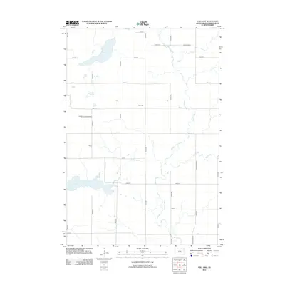
2012 Map of Still Lake
USGS Topo · Published 2012About this map
The Big Sioux River meanders across this prairie landscape in Codington County, anchoring a rural township defined by its section-line roads and family-named landmarks. The settlement of Easterly serves as a central point in this agricultural region, while numerous burial sites provide significant data for genealogists and local historians. Notably, the map documents the Saint Maurice Esterly Blessed Sacrament Catholic Cem, alongside Esterly Cem and Berger Cem, which are tucked among the fields north of the river.
Find a feature on this map
30 named features on this map. Tap any name to fly to it.
Don’t see what you’re looking for? This feature index may not catch every label — zoom into the map to look around manually.
Map Details
Editions of this 2012 Still Lake Map
This is the sole edition of this map. No revisions or reprints were ever made.
Other maps of this area

1953 · Milbank
USGS Topo · 1:250,000

1953 · Watertown
USGS Topo · 1:250,000

1958 · Milbank
USGS Topo · 1:250,000

1958 · Watertown
USGS Topo · 1:250,000

1969 · Watertown West
USGS Topo · 1:24,000

1969 · Watertown East
USGS Topo · 1:24,000

1970 · Lonesome Lake
USGS Topo · 1:24,000

1970 · Still Lake SE
USGS Topo · 1:24,000

1970 · Florence NE
USGS Topo · 1:24,000

1970 · Still Lake NE
USGS Topo · 1:24,000
Featured Places
- Germantown Township, SD
- Enemy Swim District, SD
- Fuller Township, SD
- Rauville Township, SD
- Dexter Township, SD