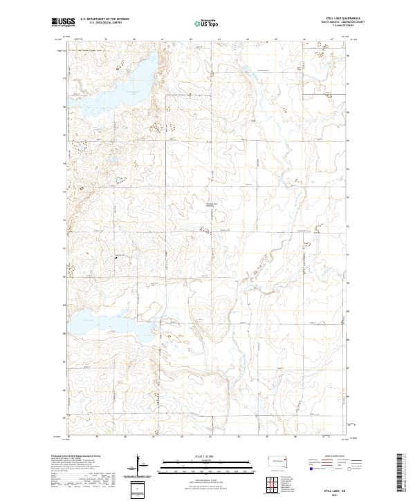
2021 Map of Still Lake
USGS Topo · Published 2021About this map
The Coteau des Prairies plateau shapes the hydrology and transport patterns of this Codington County landscape, where the headwaters of the Big Sioux River and its tributaries define the drainage. The area is characterized by a high concentration of glacial wetlands and prominent water bodies, most notably Cottonwood Lake in the north and its namesake Still Lake to the southwest. These lakes are connected by a grid of rural section-line roads, including Still Lake Rd, that navigate around the various creeks and prairie potholes.
Find a feature on this map
39 named features on this map. Tap any name to fly to it.
Don’t see what you’re looking for? This feature index may not catch every label — zoom into the map to look around manually.
Map Details
Editions of this 2021 Still Lake Map
This is the sole edition of this map. No revisions or reprints were ever made.
Other maps of this area

1953 · Milbank
USGS Topo · 1:250,000

1953 · Watertown
USGS Topo · 1:250,000

1958 · Milbank
USGS Topo · 1:250,000

1958 · Watertown
USGS Topo · 1:250,000

1969 · Watertown West
USGS Topo · 1:24,000

1969 · Watertown East
USGS Topo · 1:24,000

1970 · Lonesome Lake
USGS Topo · 1:24,000

1970 · Still Lake SE
USGS Topo · 1:24,000

1970 · Florence NE
USGS Topo · 1:24,000

1970 · Still Lake NE
USGS Topo · 1:24,000
Featured Places
- Dexter Township, SD
- Germantown Township, SD
- Enemy Swim District, SD
- Fuller Township, SD
- Rauville Township, SD