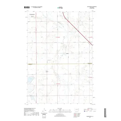
2017 Map of Watertown SE
USGS Topo · Published 2017About this map
The Big Sioux River meanders through the heart of this landscape, marking the transition from the southeastern edge of Watertown into the rural townships of Codington and Hamlin counties. The terrain is defined by the Coteau des Prairies, a high plateau that rises above the surrounding plains. The small community of Appleby sits along a grid of local roads like 458th Ave, while the northern portion of the map is anchored by the Mother of God Monastery Cem. This 2017 survey illustrates the modern intersection of agriculture and geography, where the river's path is flanked by wetlands and clusters of water such as Five Ponds. The map provides a clear look at the township boundaries of T116N and T115N, showing how the land has been organized for contemporary use.
Find a feature on this map
38 named features on this map. Tap any name to fly to it.
Don’t see what you’re looking for? This feature index may not catch every label — zoom into the map to look around manually.
Map Details
Editions of this 2017 Watertown SE Map
This is the sole edition of this map. No revisions or reprints were ever made.
Other maps of this area

1953 · Watertown
USGS Topo · 1:250,000

1958 · Watertown
USGS Topo · 1:250,000

1969 · Hayti
USGS Topo · 1:24,000

1969 · Dempster
USGS Topo · 1:24,000

1969 · Castlewood
USGS Topo · 1:24,000

1969 · Watertown West
USGS Topo · 1:24,000

1969 · Pelican Lake
USGS Topo · 1:24,000

1969 · Watertown SE
USGS Topo · 1:24,000

1969 · Watertown East
USGS Topo · 1:24,000

1970 · Kranzburg SW
USGS Topo · 1:24,000