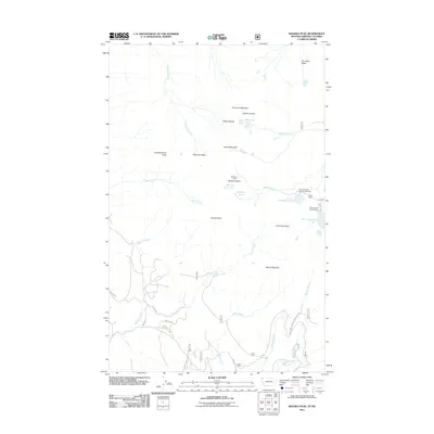
2011 Map of Ksanka Peak
USGS Topo · Published 2011About this map
Ksanka Peak and the high ridges of the Galton Range dominate this northern landscape, which straddles the border region near Lake Koocanusa. The map documents a network of high-altitude water bodies, from the Ten Lakes Basin in the northeast to the Wolverine Lakes and Bluebird Lake. These alpine lakes are connected by a system of steep drainages, including Sinclair Creek and Therriault Creek, that carve through the surrounding peaks.
Find a feature on this map
38 named features on this map. Tap any name to fly to it.
Don’t see what you’re looking for? This feature index may not catch every label — zoom into the map to look around manually.
Map Details
Editions of this 2011 Ksanka Peak Map
This is the sole edition of this map. No revisions or reprints were ever made.
Other maps of this area

1913 · Stryker
USGS Topo · 1:125,000

1916 · Stryker
USGS Topo · 1:125,000

1957 · Kalispell
USGS Topo · 1:250,000

1960 · Kalispell
USGS Topo · 1:250,000

1961 · Kalispell
USGS Topo · 1:250,000

1963 · Eureka North
USGS Topo · 1:24,000

1963 · Mount Marston
USGS Topo · 1:24,000

1963 · Ksanka Peak
USGS Topo · 1:24,000

1963 · Eureka South
USGS Topo · 1:24,000

1963 · Stahl Peak
USGS Topo · 1:24,000