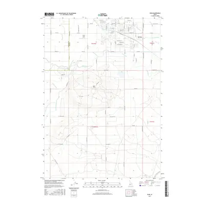
2017 Map of Kuna
USGS Topo · Published 2017About this map
Kuna serves as the focal point of this Boise Valley landscape, where an intricate network of irrigation infrastructure transforms the high desert. The map captures the town's grid expanding toward Kuna Cem and Indian Creek, while a massive system of waterways including the New York Canal, Mora Canal, and Kuna Canal crisscrosses the surrounding farmland. These laterals and canals follow the contours of the land, demonstrating the engineered dependency of the region's agriculture on distant water sources. To the south, the prominent volcanic profile of Kuna Butte rises above the valley floor, providing a sharp contrast to the precise agricultural sections and residential developments. Local transit and history are preserved in names like Stagecoach Way and the small Green Acres Airport, alongside the clearly defined boundary between Canyon and Ada counties.
Find a feature on this map
84 named features on this map. Tap any name to fly to it.
Don’t see what you’re looking for? This feature index may not catch every label — zoom into the map to look around manually.
Map Details
Editions of this 2017 Kuna Map
This is the sole edition of this map. No revisions or reprints were ever made.
Other maps of this area

1892 · Boise
USGS Topo · 1:125,000

1892 · Bisuka
USGS Topo · 1:125,000

1892 · Silver City
USGS Topo · 1:125,000

1894 · Bisuka
USGS Topo · 1:125,000

1894 · Silver City
USGS Topo · 1:125,000

1897 · Boise
USGS Topo · 1:125,000

1898 · Nampa
USGS Topo · 1:125,000

1898 · Silver City
USGS Topo · 1:125,000

1953 · Cloverdale
USGS Topo · 1:24,000

1953 · Meridian
USGS Topo · 1:24,000