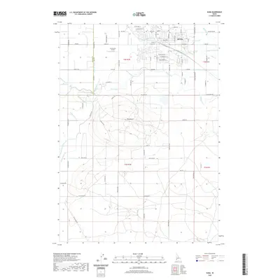
2020 Map of Kuna
USGS Topo · Published 2020About this map
The town of Kuna sits at the northern edge of this agricultural landscape, defined by a complex network of irrigation infrastructure essential to the Treasure Valley. Waterways like the New York Canal, Mora Canal, and Indian Creek lace through the terrain, while smaller distribution lines such as the Benton Lateral and McClenagan Lateral delineate property boundaries and section lines. The presence of the Kuna Cem and the Po near the town center reflect the community's established core, while the Green Acres Airport to the west suggests the importance of local aviation in this open country.
Find a feature on this map
82 named features on this map. Tap any name to fly to it.
Don’t see what you’re looking for? This feature index may not catch every label — zoom into the map to look around manually.
Map Details
Editions of this 2020 Kuna Map
This is the sole edition of this map. No revisions or reprints were ever made.
Other maps of this area

1892 · Boise
USGS Topo · 1:125,000

1892 · Bisuka
USGS Topo · 1:125,000

1892 · Silver City
USGS Topo · 1:125,000

1894 · Bisuka
USGS Topo · 1:125,000

1894 · Silver City
USGS Topo · 1:125,000

1897 · Boise
USGS Topo · 1:125,000

1898 · Nampa
USGS Topo · 1:125,000

1898 · Silver City
USGS Topo · 1:125,000

1953 · Cloverdale
USGS Topo · 1:24,000

1953 · Meridian
USGS Topo · 1:24,000