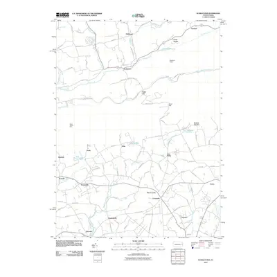
2010 Map of Kunkletown
USGS Topo · Published 2010About this map
Kunkletown sits at the foot of Chestnut Ridge, serving as a central hub where Buckwha Creek and Aquashicola Creek converge. The landscape is defined by its deep-rooted rural network, where numerous small crossroads and hamlets like Fiddletown, Point Phillip, and Rossland are connected by a web of historic family-named roads such as Christman Rd and Kuehner Ln. This 2010 topographic record captures the area's intricate water systems, from the Water Supply Dam near Slatefield to the headwaters of Hokendauqua Creek and Monocacy Creek. To the south, the village of Chapman and the nearby Fairview Cemetery highlight the enduring community structures of Northampton County. The transition from the high ridges to the creek-fed valleys illustrates a classic Pennsylvania development pattern, with scattered settlements like Youngsville and Emanuelsville established along the fertile drainage basins.
Find a feature on this map
101 named features on this map. Tap any name to fly to it.
Don’t see what you’re looking for? This feature index may not catch every label — zoom into the map to look around manually.
Map Details
Editions of this 2010 Kunkletown Map
This is the sole edition of this map. No revisions or reprints were ever made.
Other maps of this area

1894 · Allentown
USGS Topo · 1:62,500

1902 · Slatington
USGS Topo · 1:62,500

1914 · Wind Gap
USGS Topo · 1:62,500

1916 · Wind Gap
USGS Topo · 1:62,500

1922 · Mauch Chunk
USGS Topo · 1:62,500

1924 · Mauch Chunk
USGS Topo · 1:62,500

1937 · Allentown West
USGS Topo · 1:48,000

1939 · Allentown
USGS Topo · 1:62,500

1942 · Allentown West
USGS Topo · 1:62,500

1943 · Mauch Chunk
USGS Topo · 1:62,500
Featured Places
- Chapman, Moore Township
- Klecknersville, Moore Township
- Delps, Moore Township
- Rockville, Lehigh Township
- Point Phillip, Moore Township