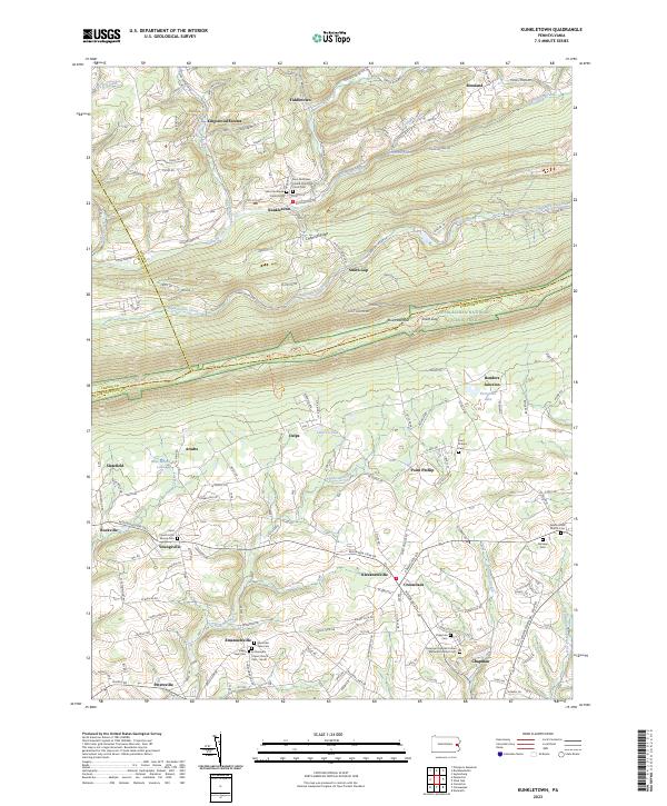
2023 Map of Kunkletown
USGS Topo · Published 2023About this map
Blue Mountain and Chestnut Ridge define the northern orientation of this landscape where the boundaries of Northampton, Monroe, and Carbon counties meet. The area is characterized by a dense network of small settlements and hamlets, including Kunkletown, Point Phillip, and Klecknersville, which are connected by established routes like Kunkletown Rd and State Rte 3003. The southern slopes are punctuated by numerous historic burial grounds and places of worship, such as Saint Matthews Union Cem and the Chapman Quarries United Methodist Church Cem, reflecting the deep-rooted community heritage of the region.
Find a feature on this map
136 named features on this map. Tap any name to fly to it.
Don’t see what you’re looking for? This feature index may not catch every label — zoom into the map to look around manually.
Map Details
Editions of this 2023 Kunkletown Map
This is the sole edition of this map. No revisions or reprints were ever made.
Other maps of this area

1894 · Allentown
USGS Topo · 1:62,500

1902 · Slatington
USGS Topo · 1:62,500

1914 · Wind Gap
USGS Topo · 1:62,500

1916 · Wind Gap
USGS Topo · 1:62,500

1922 · Mauch Chunk
USGS Topo · 1:62,500

1924 · Mauch Chunk
USGS Topo · 1:62,500

1937 · Allentown West
USGS Topo · 1:48,000

1939 · Allentown
USGS Topo · 1:62,500

1942 · Allentown West
USGS Topo · 1:62,500

1943 · Mauch Chunk
USGS Topo · 1:62,500
Featured Places
- Chapman, Moore Township
- Eldred Township, PA
- Summit Station, Moore Township
- Klecknersville, Moore Township
- Delps, Moore Township