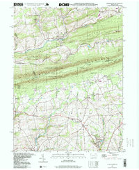
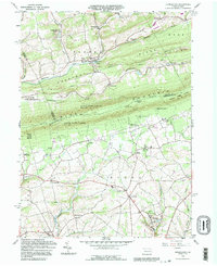
1997 Map of Kunkletown
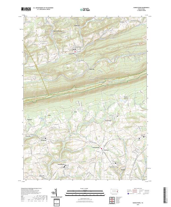
USGS Topo · Published 1999About this map
Kunkletown sits at the foot of Blue Mountain, anchoring a landscape defined by industrial extraction and the crossing of ridge-and-valley terrain. The late 1990s geography shows a heavy emphasis on resource harvesting, with numerous Clay Pits, sandpits, and quarries scattered between Buckwha Creek and Aquashicola Creek. This area was historically shaped by the extraction of specialized minerals, reflected in the concentration of settling basins and pits near the township center.
Find a feature on this map
55 named features on this map. Tap any name to fly to it.
Don’t see what you’re looking for? This feature index may not catch every label — zoom into the map to look around manually.
Map Details
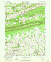
Editions of this 1997 Kunkletown Map
This is the sole edition of this map. No revisions or reprints were ever made.
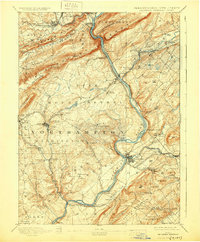
Historical Maps of Chapman Through Time
6 maps found
Featured Locations
- Lehigh Township, PA
- Moore Township, PA
- Eldred Township, PA
- Chapman, Moore Township
- Crossroads, Moore Township