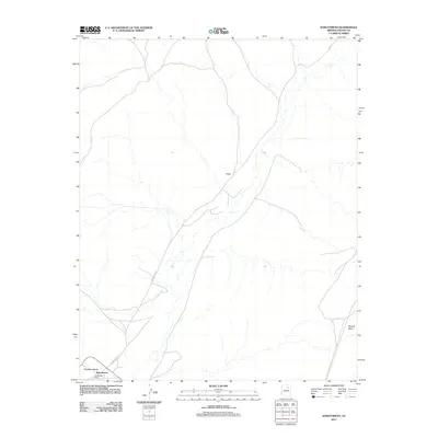
2011 Map of Kykotsmovi
USGS Topo · Published 2011About this map
Kykotsmovi serves as a primary hub of settlement in this high desert landscape, positioned near the junction of Leupp-Oraibi Rd and other local transit corridors. The village is accompanied by the Oraibi Post Office and nearby Patangvostuyqa, reflecting the localized habitation patterns of the Hopi Reservation. The terrain is defined by dramatic elevation changes, most notably at Second Mesa, which rises in the eastern portion of the quadrangle. A network of arterial roads, including Indian Rte 22 and Rte 22, links these communities across the open landscape. North of the main village, the settlement of Kiiqö sits along the road, illustrating the concentrated development along established routes through the mesas.
Find a feature on this map
9 named features on this map. Tap any name to fly to it.
Don’t see what you’re looking for? This feature index may not catch every label — zoom into the map to look around manually.
Map Details
Editions of this 2011 Kykotsmovi Map
This is the sole edition of this map. No revisions or reprints were ever made.
Other maps of this area

1883 · Marsh Pass
USGS Topo · 1:250,000

1883 · Tusayan
USGS Topo · 1:250,000

1886 · Tusayan
USGS Topo · 1:250,000

1892 · Marsh Pass
USGS Topo · 1:250,000

1947 · Flagstaff
USGS Topo · 1:250,000

1954 · Flagstaff
USGS Topo · 1:250,000

1956 · Marble Canyon
USGS Topo · 1:250,000

1958 · Flagstaff
USGS Topo · 1:250,000

1959 · Marble Canyon
USGS Topo · 1:250,000

1960 · Flagstaff
USGS Topo · 1:250,000