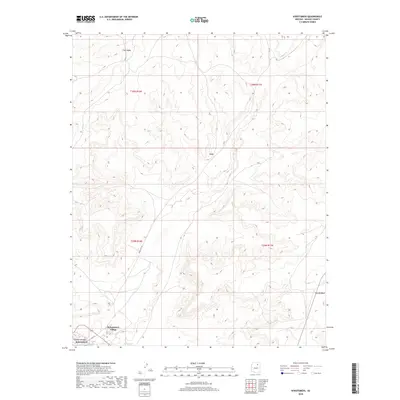
2018 Map of Kykotsmovi
USGS Topo · Published 2018About this map
Kykotsmovi Village serves as the primary hub of activity in this high desert landscape, situated along the southwestern edge of the map. The settlement, also identified as Patangvostuyqa Kykotsmovi, is framed by the dramatic elevations of Third Mesa to the northwest and Second Mesa to the east. These distinct landforms guide the drainage patterns of the region, most notably toward the Oraibi Wash which cuts through the southern terrain. This 2018 topographic study shows a traditional settlement pattern where life follows the natural contours of the mesas. Connectivity across the arid environment is maintained by Indian Rte 22, while the small cluster at Kiiqö represents the sparse residential footprint typical of Navajo County's highland plateaus during the early 21st century.
Find a feature on this map
13 named features on this map. Tap any name to fly to it.
Don’t see what you’re looking for? This feature index may not catch every label — zoom into the map to look around manually.
Map Details
Editions of this 2018 Kykotsmovi Map
This is the sole edition of this map. No revisions or reprints were ever made.
Other maps of this area

1883 · Marsh Pass
USGS Topo · 1:250,000

1883 · Tusayan
USGS Topo · 1:250,000

1886 · Tusayan
USGS Topo · 1:250,000

1892 · Marsh Pass
USGS Topo · 1:250,000

1947 · Flagstaff
USGS Topo · 1:250,000

1954 · Flagstaff
USGS Topo · 1:250,000

1956 · Marble Canyon
USGS Topo · 1:250,000

1958 · Flagstaff
USGS Topo · 1:250,000

1959 · Marble Canyon
USGS Topo · 1:250,000

1960 · Flagstaff
USGS Topo · 1:250,000