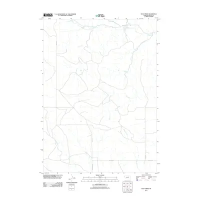
2011 Map of Kyle Creek
USGS Topo · Published 2011About this map
White River drainage patterns dominate this portion of Sioux County, where several seasonal and year-round watercourses converge in the Nebraska panhandle. The northern edge of the map follows the river's winding path, joined by Soldier Spring Creek and Tucker Creek. This rural landscape is defined by its network of named tributaries, including Kyle Creek and Hile Creek, which cut through the high plains terrain. A grid of section roads, such as Andrews Rd and Buckley Rd, provides the primary infrastructure for the ranching and agricultural operations in the Whistle Creek Precinct. Farther south, the terrain is marked by the course of Barngrover Creek near its intersection with W Belmont Rd, illustrating the intersection of natural hydrology and man-made boundaries in this sparsely populated region.
Find a feature on this map
12 named features on this map. Tap any name to fly to it.
Don’t see what you’re looking for? This feature index may not catch every label — zoom into the map to look around manually.
Map Details
Editions of this 2011 Kyle Creek Map
This is the sole edition of this map. No revisions or reprints were ever made.
Other maps of this area

1899 · Whistle Creek
USGS Topo · 1:125,000

1955 · Alliance
USGS Topo · 1:250,000

1957 · Alliance
USGS Topo · 1:250,000

1958 · Alliance
USGS Topo · 1:250,000

1979 · Harrison SE
USGS Topo · 1:24,000

1979 · Agate
USGS Topo · 1:24,000

1979 · Harrison East
USGS Topo · 1:24,000

1980 · Kyle Creek
USGS Topo · 1:24,000

1980 · Smiley Canyon
USGS Topo · 1:24,000

1980 · Andrews
USGS Topo · 1:24,000