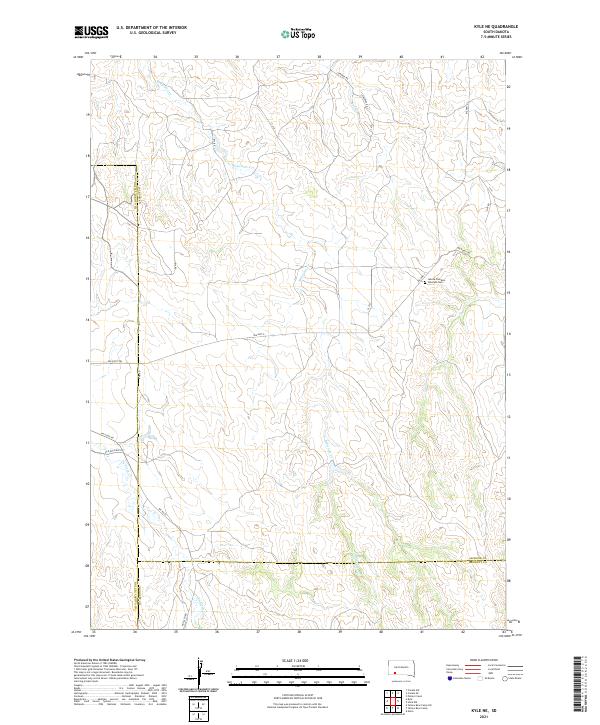
2021 Map of Kyle NE
USGS Topo · Published 2021About this map
Redwater Cr and Bull Cr carve paths through this section of the western plains where the borders of Jackson and Oglala Lakota counties meet. The landscape is defined by its drainage networks and a sparse web of transportation routes, most notably the Big Foot Trl and Bia Hwy 2. These routes provide the primary access through the territory, connecting isolated points of interest such as the Lakota Freedom Veterans Cem.
Find a feature on this map
25 named features on this map. Tap any name to fly to it.
Don’t see what you’re looking for? This feature index may not catch every label — zoom into the map to look around manually.
Map Details
Editions of this 2021 Kyle NE Map
This is the sole edition of this map. No revisions or reprints were ever made.
Other maps of this area

1950 · Conata SW
USGS Topo · 1:24,000

1950 · Potato Creek
USGS Topo · 1:24,000

1952 · Conata SE
USGS Topo · 1:24,000

1955 · Hot Springs
USGS Topo · 1:250,000

1955 · Martin
USGS Topo · 1:250,000

1958 · Martin
USGS Topo · 1:250,000

1980 · Kadoka
USGS Topo · 1:100,000

1981 · Wall
USGS Topo · 1:100,000

1981 · Yellow Bear Camp
USGS Topo · 1:25,000

1981 · Allen
USGS Topo · 1:25,000