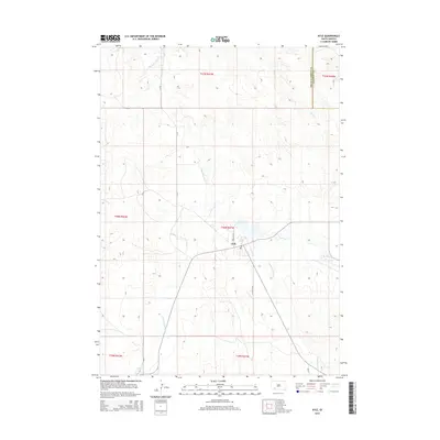
2015 Map of Kyle
USGS Topo · Published 2015About this map
Kyle serves as the central hub on this Oglala Lakota County landscape, situated where several local routes and waterways converge. The town is marked by its Po and is surrounded by a network of drainage systems, most notably Medicine Root Cr which winds north and south through the territory. Other significant water features include American Horse Cr to the southwest and No Flesh Cr to the east, illustrating the complex hydrography of the region.
Find a feature on this map
17 named features on this map. Tap any name to fly to it.
Don’t see what you’re looking for? This feature index may not catch every label — zoom into the map to look around manually.
Map Details
Editions of this 2015 Kyle Map
This is the sole edition of this map. No revisions or reprints were ever made.
Other maps of this area

1950 · Conata SW
USGS Topo · 1:24,000

1950 · Imlay SE
USGS Topo · 1:24,000

1952 · Conata SE
USGS Topo · 1:24,000

1955 · Hot Springs
USGS Topo · 1:250,000

1981 · Wall
USGS Topo · 1:100,000

1981 · Yellow Bear Camp
USGS Topo · 1:25,000

1981 · Kyle
USGS Topo · 1:25,000

1981 · Evergreen
USGS Topo · 1:25,000

1981 · Evergreen NE
USGS Topo · 1:24,000

1985 · Pine Ridge
USGS Topo · 1:100,000