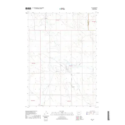
2017 Map of Kyle
USGS Topo · Published 2017About this map
Kyle serves as the central hub of this South Dakota landscape, situated near the confluence of several significant watercourses including Medicine Root Cr and No Flesh Cr. The settlement patterns here are defined by a network of local and tribal routes, such as BIA Hwy 2 and Big Foot Trl, which connect the community to the surrounding prairie. For genealogists and local historians, the map identifies key community sites including the Saint Stephen Catholic Cem to the north and Saint Barnabas Episcopal Cem to the south. The terrain is characterized by the winding paths of American Horse Cr and Mud Cr, showing how the drainage of the Oglala Lakota and Jackson County borderlands shaped the placement of early roads like Old No Flesh Rd.
Find a feature on this map
26 named features on this map. Tap any name to fly to it.
Don’t see what you’re looking for? This feature index may not catch every label — zoom into the map to look around manually.
Map Details
Editions of this 2017 Kyle Map
This is the sole edition of this map. No revisions or reprints were ever made.
Other maps of this area

1950 · Conata SW
USGS Topo · 1:24,000

1950 · Imlay SE
USGS Topo · 1:24,000

1952 · Conata SE
USGS Topo · 1:24,000

1955 · Hot Springs
USGS Topo · 1:250,000

1981 · Wall
USGS Topo · 1:100,000

1981 · Yellow Bear Camp
USGS Topo · 1:25,000

1981 · Kyle
USGS Topo · 1:25,000

1981 · Evergreen
USGS Topo · 1:25,000

1981 · Evergreen NE
USGS Topo · 1:24,000

1985 · Pine Ridge
USGS Topo · 1:100,000