Loading...
Loading map...2021 Map of Kyle
USGS Topo · Published 2021About this map
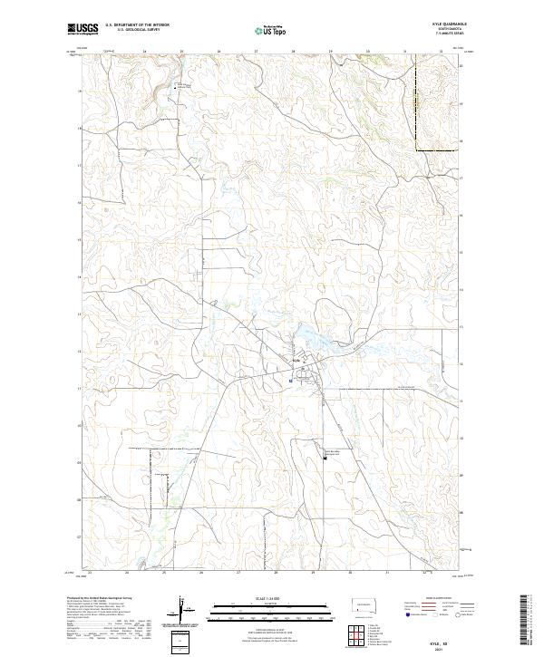
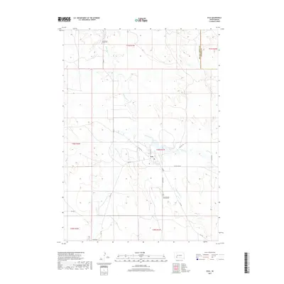
Kyle serves as a focal point in this portion of the Pine Ridge Reservation, situated where several local routes and waterways converge. The landscape is defined by the winding course of Medicine Root Creek and its many tributaries, including American Horse Cr and No Flesh Cr. These creek valleys have long dictated the placement of roads and settlements in this part of South Dakota.
Find a feature on this map
32 named features on this map. Tap any name to fly to it.
Don’t see what you’re looking for? This feature index may not catch every label — zoom into the map to look around manually.
Map Details
Date Portrayed2021
Date Published2021
PublisherU.S. Geological Survey
Map TypeTopographic
Scale1:24,000
Physical Dimensions24 x 29 inches
Editions of this 2021 Kyle Map
This is the sole edition of this map. No revisions or reprints were ever made.
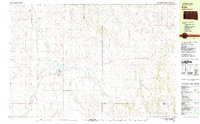
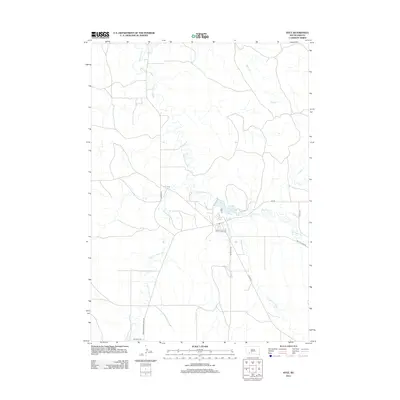
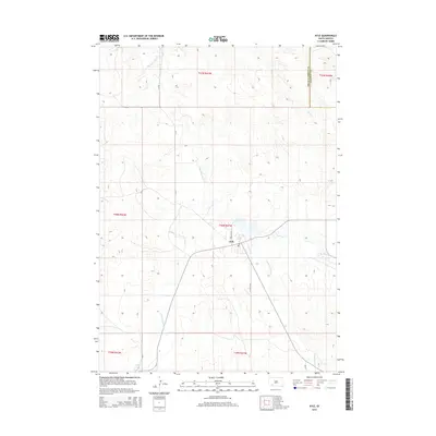
Historical Maps of Kyle Through Time
5 maps found
Featured Locations
Source Details
SourceU.S. Geological Survey
CopyrightPublic Domain