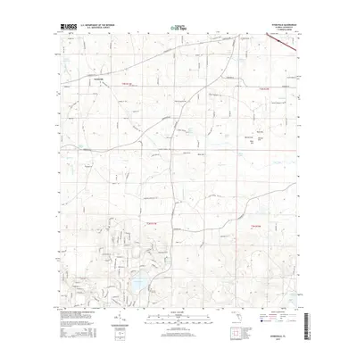
2015 Map of Kynesville
USGS Topo · Published 2015About this map
Kynesville anchors this Jackson County landscape, situated where the karst topography of North Florida reveals a complex network of springs, sinks, and ephemeral watercourses. The area is defined by its subterranean drainage, evidenced by distinctive features like Blue Sink, Cave Spring, and a series of ponds including Schoolhouse Pond and McCormick Lake. The agricultural character of the region is grounded in naming conventions for open spaces like Land's Field and the numerous small creeks such as Shores Mill Cr and Foxworth Mill Cr that likely supported early industry.
Find a feature on this map
145 named features on this map. Tap any name to fly to it.
Don’t see what you’re looking for? This feature index may not catch every label — zoom into the map to look around manually.
Map Details
Editions of this 2015 Kynesville Map
This is the sole edition of this map. No revisions or reprints were ever made.
Other maps of this area

1952 · Oakdale
USGS Topo · 1:24,000

1952 · Kynesville
USGS Topo · 1:24,000

1952 · Alford SE
USGS Topo · 1:24,000

1952 · Altha West
USGS Topo · 1:24,000

1952 · Cottondale East
USGS Topo · 1:24,000

1952 · Cottondale West
USGS Topo · 1:24,000
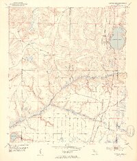
1952 · Compass Lake
USGS Topo · 1:24,000
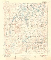
1952 · Alford
USGS Topo · 1:24,000

1952 · Marianna
USGS Topo · 1:24,000

1954 · Tallahassee
USGS Topo · 1:250,000