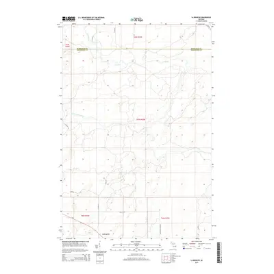
2014 Map of La Branche
USGS Topo · Published 2014About this map
LaBranche sits at the southern edge of this Michigan landscape, located where the Ford River and its West Branch carve through the terrain of Menominee and Marquette Counties. The area is defined by its network of rural routes and family-named tracks, including Bergman Rd, Gaber Rd N, and Bartoszek Lane Number 52. These local roads and the prominent Powerline Rd suggest a modern utility and timber-influenced landscape, while the major thoroughfare M-69 provides the primary connection through the southern townships. The surveyor's work captures the transition from the structured township and range system into the natural, winding drainage patterns of the Upper Peninsula's river systems.
Find a feature on this map
20 named features on this map. Tap any name to fly to it.
Don’t see what you’re looking for? This feature index may not catch every label — zoom into the map to look around manually.
Map Details
Editions of this 2014 La Branche Map
This is the sole edition of this map. No revisions or reprints were ever made.
Other maps of this area

1932 · Whitney NE
USGS Topo · 1:31,680

1932 · Whitney SE
USGS Topo · 1:31,680

1932 · Helena SW
USGS Topo · 1:31,680

1932 · Helena
USGS Topo · 1:31,680

1951 · Helena SW
USGS Topo · 1:31,680

1951 · Helena
USGS Topo · 1:31,680

1954 · Escanaba
USGS Topo · 1:250,000

1956 · Foster City
USGS Topo · 1:62,500

1957 · Escanaba
USGS Topo · 1:250,000

1957 · Northland
USGS Topo · 1:62,500