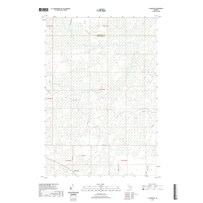
2019 Map of La Branche
USGS Topo · Published 2019About this map
LaBranche serves as the primary focal point of this northern Michigan survey, situated near the southwestern corner of a landscape defined by its intricate drainage patterns. The Ford River and the West Branch Ford River meander through a series of wetland systems and low-lying topography that dominate the central and northern reaches. The northern boundary of the map follows the Marquette Co Menominee Co line, illustrating the jurisdictional divide in this sparsely populated timberland.
Find a feature on this map
23 named features on this map. Tap any name to fly to it.
Don’t see what you’re looking for? This feature index may not catch every label — zoom into the map to look around manually.
Map Details
Editions of this 2019 La Branche Map
This is the sole edition of this map. No revisions or reprints were ever made.
Other maps of this area

1932 · Whitney NE
USGS Topo · 1:31,680

1932 · Whitney SE
USGS Topo · 1:31,680

1932 · Helena SW
USGS Topo · 1:31,680

1932 · Helena
USGS Topo · 1:31,680

1951 · Helena SW
USGS Topo · 1:31,680

1951 · Helena
USGS Topo · 1:31,680

1954 · Escanaba
USGS Topo · 1:250,000

1956 · Foster City
USGS Topo · 1:62,500

1957 · Escanaba
USGS Topo · 1:250,000

1957 · Northland
USGS Topo · 1:62,500