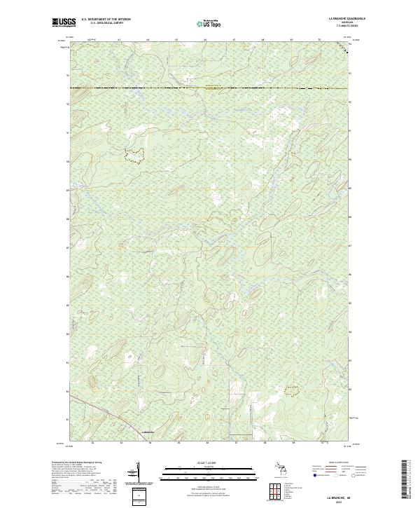
2023 Map of La Branche
USGS Topo · Published 2023About this map
Labranche sits at the southern edge of this territory where the Ford River and its West Branch meander through the central Upper Peninsula. The landscape is defined by the transition across the Marquette and Menominee county line, characterized by extensive wetlands and a network of named local roads and trails. Many of these routes, such as Bartosz Lane Number 52, Pach Lane F 1, and Zawacki Lane D1, carry family names that provide significant leads for local genealogists and property researchers.
Find a feature on this map
25 named features on this map. Tap any name to fly to it.
Don’t see what you’re looking for? This feature index may not catch every label — zoom into the map to look around manually.
Map Details
Editions of this 2023 La Branche Map
This is the sole edition of this map. No revisions or reprints were ever made.
Other maps of this area

1932 · Whitney NE
USGS Topo · 1:31,680

1932 · Whitney SE
USGS Topo · 1:31,680

1932 · Helena SW
USGS Topo · 1:31,680

1932 · Helena
USGS Topo · 1:31,680

1951 · Helena SW
USGS Topo · 1:31,680

1951 · Helena
USGS Topo · 1:31,680

1954 · Escanaba
USGS Topo · 1:250,000

1956 · Foster City
USGS Topo · 1:62,500

1957 · Escanaba
USGS Topo · 1:250,000

1957 · Northland
USGS Topo · 1:62,500