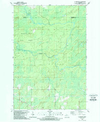
1989 Map of La Branche
USGS Topo · Published 1989About this map
Escanaba River State Forest dominates this landscape in the late 1980s, revealing a terrain shaped by the intricate hydrology of the Upper Peninsula. The Ford River and Escanaba River wind through the township of Harris and the surrounding wilderness, joined by smaller tributaries like the West Branch. These watercourses define the layout of the land, cutting through heavily forested sections of Wells and Spalding.
Find a feature on this map
11 named features on this map. Tap any name to fly to it.
Don’t see what you’re looking for? This feature index may not catch every label — zoom into the map to look around manually.
Map Details
Editions of this 1989 La Branche Map
This is the sole edition of this map. No revisions or reprints were ever made.
Other maps of this area

1932 · Whitney NE
USGS Topo · 1:31,680

1932 · Whitney SE
USGS Topo · 1:31,680

1932 · Helena SW
USGS Topo · 1:31,680

1932 · Helena
USGS Topo · 1:31,680

1951 · Helena SW
USGS Topo · 1:31,680

1951 · Helena
USGS Topo · 1:31,680

1954 · Escanaba
USGS Topo · 1:250,000

1956 · Foster City
USGS Topo · 1:62,500

1957 · Escanaba
USGS Topo · 1:250,000

1957 · Northland
USGS Topo · 1:62,500