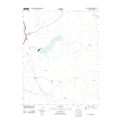
2012 Map of La Costa Valley
USGS Topo · Published 2012About this map
The San Antonio Reservoir dominates this portion of the East Bay hills, serving as a critical infrastructure point where the Hetch Hetchy Aqueduct traverses the landscape. The terrain is defined by a series of steep ridges and secluded valleys, including Vallecitos Valley and La Costa Valley, which have historically constrained development to narrow corridors like Pleasanton Sunol Rd.
Find a feature on this map
31 named features on this map. Tap any name to fly to it.
Don’t see what you’re looking for? This feature index may not catch every label — zoom into the map to look around manually.
Map Details
Editions of this 2012 La Costa Valley Map
This is the sole edition of this map. No revisions or reprints were ever made.
Other maps of this area
1889 · San Jose
USGS Topo · 1:62,500
1897 · San Jose
USGS Topo · 1:62,500
1897 · Mt. Hamilton
USGS Topo · 1:62,500
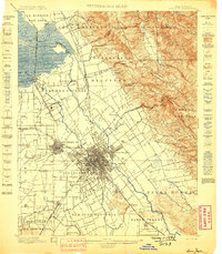
1899 · San Jose
USGS Topo · 1:62,500
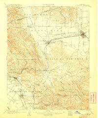
1906 · Pleasanton
USGS Topo · 1:62,500
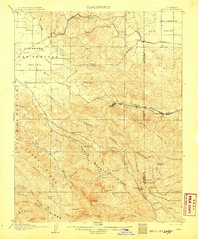
1907 · Tesla
USGS Topo · 1:62,500
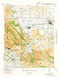
1941 · Pleasanton
USGS Topo · 1:62,500
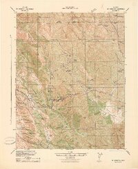
1942 · Mt. Hamilton
USGS Topo · 1:62,500
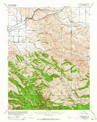
1942 · Altamont
USGS Topo · 1:62,500
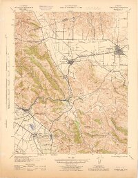
1943 · Pleasanton
USGS Topo · 1:62,500