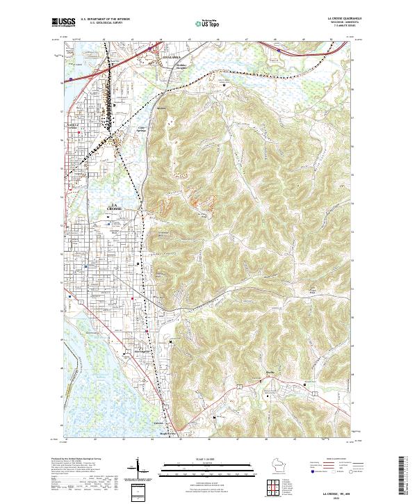
2022 Map of La Crosse
USGS Topo · Published 2022About this map
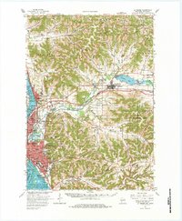
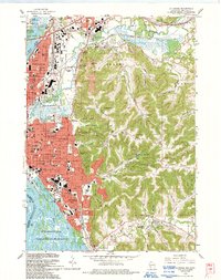
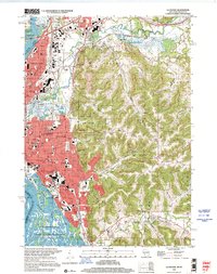
The Mississippi River and its complex network of side channels, including Mormon Slough and York Slough, dominate the western edge of this 2022 landscape where the driftless region meets the water. The city of La Crosse is defined by its transition from the river flats to the dramatic elevation of Granddad Bluff and Miller Bluff. This geography has shaped the urban development of North La Crosse and neighboring Onalaska, hemmed in by the La Crosse River Marsh.
Find a feature on this map
61 named features on this map. Tap any name to fly to it.
Don’t see what you’re looking for? This feature index may not catch every label — zoom into the map to look around manually.
Map Details
Editions of this 2022 La Crosse Map
This is the sole edition of this map. No revisions or reprints were ever made.
Historical Maps of Campbell Through Time
13 maps found

1927 La Crosse
La Crosse County, WI
1930 La Crosse
La Crosse County, WI
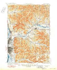
1958 La Crosse
La Crosse County, WI

1961 La Crosse
La Crosse County, WI
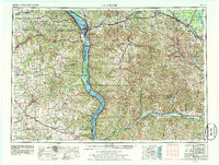
1963 La Crosse
La Crosse County, WI
1963 La Crosse
La Crosse County, WI

1965 La Crosse
La Crosse County, WI

1976 La Crosse
La Crosse County, WI

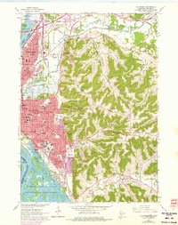
1984 La Crosse
La Crosse County, WI

1990 La Crosse
La Crosse County, WI
1993 La Crosse
La Crosse County, WI
1998 La Crosse
La Crosse County, WI
2022 La Crosse
La Crosse County, WI