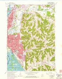
1963 Map of La Crosse
USGS Topo · Published 1975About this map
La Crosse is defined by its dramatic position between the Mississippi River and the high limestone bluffs of the Driftless Area. This 1963 survey, photorevised in 1974, details an urban landscape constrained by water and rock, showing the dense residential grid pressing against the base of Granddad Bluff and Cliffwood Bluff. The city’s institutional history is prominent, featuring numerous parish schools like Blessed Sacrament Sch and Aquinas High Sch, alongside Viterbo College and the Holy Cross Seminary.
Find a feature on this map
80 named features on this map. Tap any name to fly to it.
Don’t see what you’re looking for? This feature index may not catch every label — zoom into the map to look around manually.
Map Details
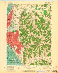
Editions of this 1963 La Crosse Map
2 editions found
Other maps of this area

1926 · Stoddard
USGS Topo · 1:62,500

1927 · La Crosse
USGS Topo · 1:62,500

1930 · La Crescent
USGS Topo · 1:62,500

1930 · La Crosse
USGS Topo · 1:62,500

1956 · Brownsville
USGS Topo · 1:62,500

1956 · La Crescent
USGS Topo · 1:62,500

1958 · La Crosse
USGS Topo · 1:250,000

1961 · La Crosse
USGS Topo · 1:250,000
1963 · Onalaska
USGS Topo · 1:24,000
1963 · St. Joseph
USGS Topo · 1:24,000