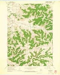
1963 Map of St. Joseph
USGS Topo · Published 1964About this map
The St Joseph Ridge dominates this area of La Crosse County, where deep coulees and ridges dictate the placement of rural roads and homesteads. In the early 1960s, the landscape was a mix of agriculture and conservation, notably featuring the Coulee State Experimental Forest and numerous small quarries that mark the local geology. Settlement patterns follow the creek valleys and ridge tops, with small community centers like Barre Mills and St Joseph serving the surrounding township lands of Hamilton, Barre, and Greenfield.
Find a feature on this map
34 named features on this map. Tap any name to fly to it.
Don’t see what you’re looking for? This feature index may not catch every label — zoom into the map to look around manually.
Map Details
Editions of this 1963 St. Joseph Map
2 editions found
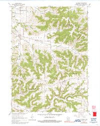
Other maps of this area

1909 · Sparta
USGS Topo · 1:62,500

1923 · Viroqua
USGS Topo · 1:62,500

1926 · Stoddard
USGS Topo · 1:62,500

1926 · Viroqua
USGS Topo · 1:62,500

1927 · La Crosse
USGS Topo · 1:62,500

1930 · La Crosse
USGS Topo · 1:62,500

1947 · Sparta
USGS Topo · 1:62,500

1949 · Sparta
USGS Topo · 1:62,500

1958 · La Crosse
USGS Topo · 1:250,000

1961 · La Crosse
USGS Topo · 1:250,000