
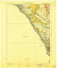
1930 Map of La Crescent
USGS Topo · Published 1930About this map
The Mississippi River and Black River converge in this detailed 1930 edition, revealing the intricate waterborne geography of the border between Minnesota and Wisconsin. The landscape is defined by a complex network of channels, islands, and backwaters, including Richmond Island and Pigeon Island. The river economy of the era is evident in the numerous chutes and sloughs, such as Hammond Chute and Dresbach Slough, which bypass larger landmarks like Trempealeau Mt.
Find a feature on this map
54 named features on this map. Tap any name to fly to it.
Don’t see what you’re looking for? This feature index may not catch every label — zoom into the map to look around manually.
Map Details
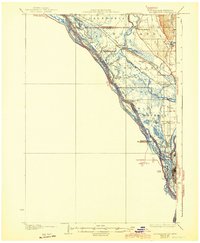
Editions of this 1930 La Crescent Map
3 editions found
Other maps of this area

1926 · Stoddard
USGS Topo · 1:62,500

1926 · North Bend
USGS Topo · 1:62,500

1927 · La Crosse
USGS Topo · 1:62,500

1929 · Fountain City
USGS Topo · 1:62,500

1929 · Galesville
USGS Topo · 1:62,500

1929 · North Bend
USGS Topo · 1:62,500

1930 · La Crosse
USGS Topo · 1:62,500

1934 · Winona
USGS Topo · 1:62,500

1937 · Winona
USGS Topo · 1:62,500

1953 · Eau Claire
USGS Topo · 1:250,000