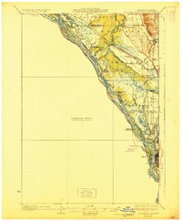
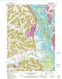
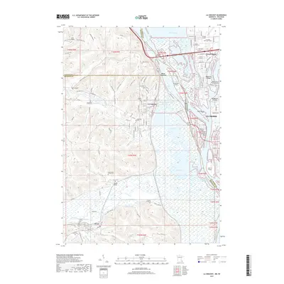
1930 Map of La Crescent
USGS Topo · Published 1930About this map
The Mississippi River corridor dominates this 1930 edition, showing the complex aquatic landscape before modern navigational locks transformed the Upper Mississippi. In this era, the river is a maze of backwaters and side channels including Dresbach Slough, French Slough, and Hammond Chute. The settlement of La Crosse is shown alongside North La Crosse and West La Crosse, positioned at the critical junction of the Black River and the main channel. The map illustrates a landscape defined by its river-and-rail economy, with the Chicago Burlington and Quincy and other major railroads tracing the shoreline. Inland, small rural hubs like New Amsterdam and Holmen are surrounded by a network of country schools such as Oak Grove Sch and Midway Sch, highlighting the distributed agricultural population of Onalaska and Holland townships.
Find a feature on this map
57 named features on this map. Tap any name to fly to it.
Don’t see what you’re looking for? This feature index may not catch every label — zoom into the map to look around manually.
Map Details
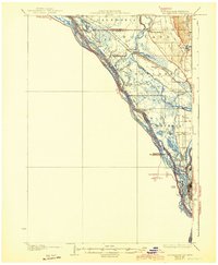
Editions of this 1930 La Crescent Map
3 editions found

Historical Maps of La Crosse Through Time
9 maps found
1930 La Crescent
Houston County, MN
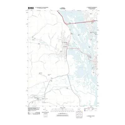
1956 La Crescent
Houston County, MN
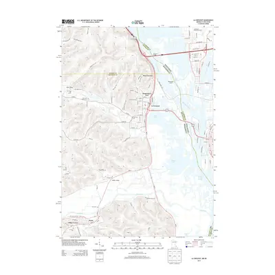
1973 La Crescent
Houston County, MN
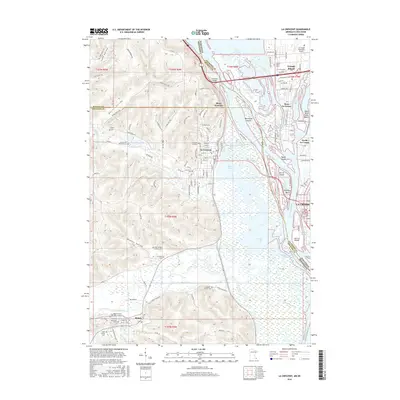
1991 La Crescent
Houston County, MN
2010 La Crescent
Houston County, MN
2013 La Crescent
Houston County, MN
2016 La Crescent
Houston County, MN
2019 La Crescent
Houston County, MN
2022 La Crescent
Houston County, MN