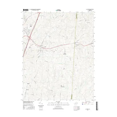
2016 Map of La Crosse
USGS Topo · Published 2016About this map
The town of South Hill serves as a primary hub for this portion of southern Virginia, where the residential grids and industry center around established corridors like N Mecklenburg Ave and E Atlantic St. Moving east, the smaller settlements of La Crosse and Brodnax follow the alignment of the railroad, which historically dictated the growth of these tobacco-belt communities. The landscape is deeply incised by a dense network of watercourses, including Rocky Branch, Evans Cr, and Little Genito Cr, which separate the agricultural tracts and timberlands of the Piedmont.
Find a feature on this map
113 named features on this map. Tap any name to fly to it.
Don’t see what you’re looking for? This feature index may not catch every label — zoom into the map to look around manually.
Map Details
Editions of this 2016 La Crosse Map
This is the sole edition of this map. No revisions or reprints were ever made.
Other maps of this area

1918 · Lawrenceville
USGS Topo · 1:62,500

1919 · White Plains
USGS Topo · 1:48,000

1920 · Lawrenceville
USGS Topo · 1:48,000

1920 · White Plains
USGS Topo · 1:62,500

1921 · Lawrenceville
USGS Topo · 1:62,500

1942 · Lawrenceville
USGS Topo · 1:62,500

1953 · Norfolk
USGS Topo · 1:250,000

1953 · Greensboro
USGS Topo · 1:250,000

1954 · Greensboro
USGS Topo · 1:250,000

1955 · Kenbridge
USGS Topo · 1:62,500