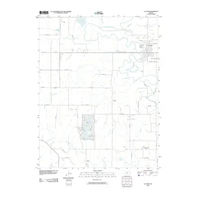
2009 Map of La Cygne
USGS Topo · Published 2009About this map
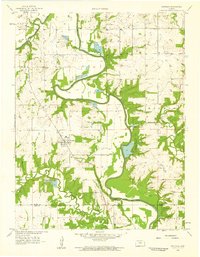
The Marais des Cygnes River meanders through this portion of Linn County, shaping the landscape near the town of La Cygne. This eastern Kansas river valley is characterized by complex waterway systems, including Middle Creek, Elm Creek, and Richland Creek. For genealogists, the map provides precise locations for several regional burial grounds, such as Oaklawn Cemetery near the town center and the more isolated Brooklyn Cemetery and Richland Cemetery. A notable geographical landmark, Graveyard Mound, sits south of the river, while the lower portion of the sheet is defined by the course of Big Sugar Creek. The map details a transition in land use, showing the residential layout of La Cygne alongside the Industrial Park Rd and the surrounding network of section-line roads that define the rural prairie.
Find a feature on this map
67 named features on this map. Tap any name to fly to it.
Don’t see what you’re looking for? This feature index may not catch every label — zoom into the map to look around manually.
Map Details
Editions of this 2009 La Cygne Map
This is the sole edition of this map. No revisions or reprints were ever made.
Other maps of this area

1887 · Mound City
USGS Topo · 1:125,000

1893 · Mound City
USGS Topo · 1:125,000

1947 · Lawrence
USGS Topo · 1:250,000

1950 · Lawrence
USGS Topo · 1:250,000

1956 · Lawrence
USGS Topo · 1:250,000
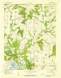
1957 · Boicourt
USGS Topo · 1:24,000
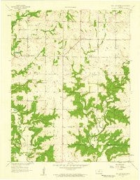
1957 · New Lancaster
USGS Topo · 1:24,000

1958 · La Cygne
USGS Topo · 1:24,000
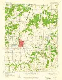
1958 · Pleasanton
USGS Topo · 1:24,000
1958 · Fontana
USGS Topo · 1:24,000