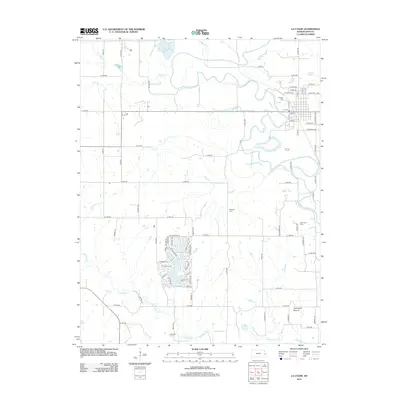
2012 Map of La Cygne
USGS Topo · Published 2012About this map
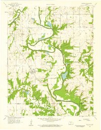
The Marais des Cygnes River winds through this section of Linn County, shaping the local landscape and the layout of La Cygne. The town's grid is established in the northeast, marked by streets such as E Grand St and W Lincoln St. The map highlights a strong genealogical record with four distinct burial grounds: Oaklawn Cem, Brooklyn Cem, Riverview Cem, and Richland Cem.
Find a feature on this map
78 named features on this map. Tap any name to fly to it.
Don’t see what you’re looking for? This feature index may not catch every label — zoom into the map to look around manually.
Map Details
Editions of this 2012 La Cygne Map
This is the sole edition of this map. No revisions or reprints were ever made.
Other maps of this area

1887 · Mound City
USGS Topo · 1:125,000

1893 · Mound City
USGS Topo · 1:125,000

1947 · Lawrence
USGS Topo · 1:250,000

1950 · Lawrence
USGS Topo · 1:250,000

1956 · Lawrence
USGS Topo · 1:250,000
1957 · Boicourt
USGS Topo · 1:24,000
1957 · New Lancaster
USGS Topo · 1:24,000

1958 · La Cygne
USGS Topo · 1:24,000
1958 · Pleasanton
USGS Topo · 1:24,000
1958 · Fontana
USGS Topo · 1:24,000