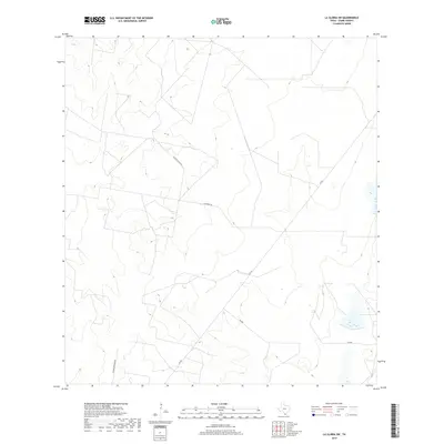
2019 Map of La Gloria SW
USGS Topo · Published 2019About this map
Starr County ranchlands and rural corridors are the primary focus of this late-2010s survey, illustrating a landscape defined by expansive private holdings and essential regional connectors. The survey highlights the remote character of this South Texas region, where the network of unpaved and paved routes provides the primary structure for local transit. Long thoroughfares like El Rucio Ranch Rd and Woods Brothers Rd cut through the terrain, likely serving as vital access points for family-owned ranches and seasonal agricultural operations. The crossing of FM 755 and FM 490 anchors the southwestern portion of the map, showing the infrastructure supporting the local ranching economy. This map serves as a clear record of property access and land use in a sparsely populated part of the state, where named roads often represent the only significant landmarks across several square miles.
Find a feature on this map
5 named features on this map. Tap any name to fly to it.
Don’t see what you’re looking for? This feature index may not catch every label — zoom into the map to look around manually.
Map Details
Editions of this 2019 La Gloria SW Map
This is the sole edition of this map. No revisions or reprints were ever made.
Other maps of this area

1938 · El Sauz
USGS Topo · 1:62,500

1938 · Sal Colorada
USGS Topo · 1:62,500

1949 · Mc Allen
USGS Topo · 1:250,000

1954 · McAllen
USGS Topo · 1:250,000

1956 · Garcias
USGS Topo · 1:62,500

1956 · Escobares
USGS Topo · 1:62,500

1957 · Mc Allen
USGS Topo · 1:250,000

1962 · McAllen
USGS Topo · 1:250,000
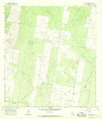
1965 · Camp Garcia
USGS Topo · 1:24,000
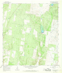
1965 · Sagunada Ranch
USGS Topo · 1:24,000