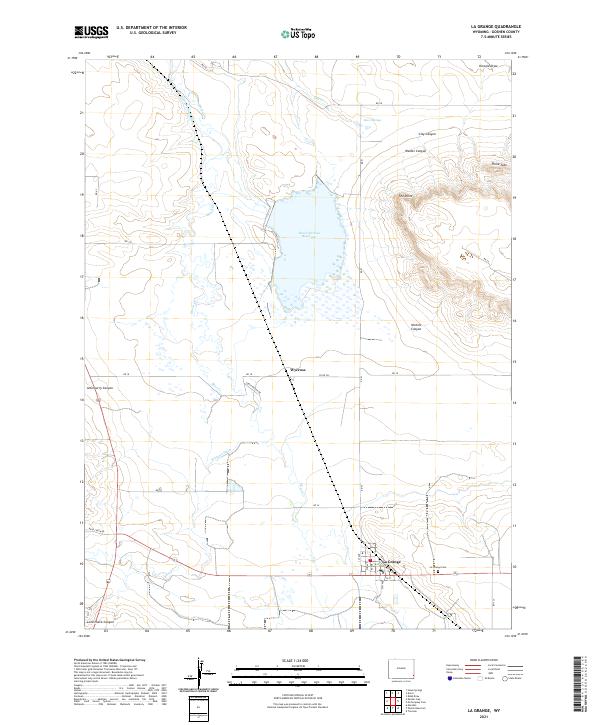
2021 Map of La Grange
USGS Topo · Published 2021About this map
La Grange serves as the primary hub of this eastern Wyoming landscape, where the town's grid meets the surrounding ranchland. The irrigation needs of the region are clearly visible through the engineered water systems of Hawk Springs Reservoir and the Hawk Springs Ditch, which redirect flow across the high plains. Small-scale settlements like Wycross are noted alongside family-named terrain features such as Walker Canyon, Nichols Canyon, and Atterberry Canyon, indicating a history deeply tied to specific homesteads and land claims. To the south, the La Grange Cem provides a focal point for genealogical interest near the banks of Bear Cr. The map captures a moment where modern roads like Curtis Moyer Dr connect these long-standing rural landmarks and water sources like Zenor Springs.
Find a feature on this map
44 named features on this map. Tap any name to fly to it.
Don’t see what you’re looking for? This feature index may not catch every label — zoom into the map to look around manually.
Map Details
Editions of this 2021 La Grange Map
This is the sole edition of this map. No revisions or reprints were ever made.
Other maps of this area

1899 · Goshen Hole
USGS Topo · 1:125,000

1954 · Cheyenne
USGS Topo · 1:250,000

1958 · Cheyenne
USGS Topo · 1:250,000

1960 · Tremain
USGS Topo · 1:24,000

1960 · Mc Compsey Pass
USGS Topo · 1:24,000

1960 · Petsch Reservoir
USGS Topo · 1:24,000

1960 · Hawk Springs
USGS Topo · 1:24,000

1960 · Kessler Gap
USGS Topo · 1:24,000

1960 · Meriden
USGS Topo · 1:24,000

1960 · La Grange
USGS Topo · 1:24,000