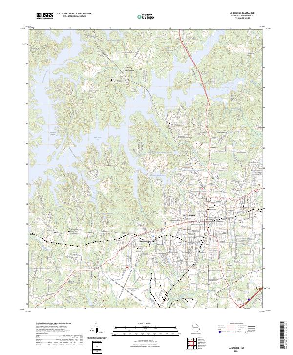
2024 Map of La Grange
USGS Topo · Published 2024About this map
The city of La Grange serves as the focal point for this contemporary survey of West Georgia, illustrating the dense grid of the county seat alongside the expanding waters of West Point Lake. The map captures the institutional core of the community, anchored by the Troup County Courthouse and the campus of LaGrange College. Radiating from the center, the landscape transitions into suburban developments and industrial zones, including the LaGrange/Callaway Airport to the south.
Find a feature on this map
263 named features on this map. Tap any name to fly to it.
Don’t see what you’re looking for? This feature index may not catch every label — zoom into the map to look around manually.
Map Details
Editions of this 2024 La Grange Map
This is the sole edition of this map. No revisions or reprints were ever made.
Historical Maps of Foxcroft Through Time
10 maps found
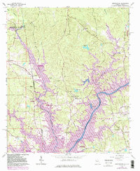
1964 Abbottsford
Troup County, GA
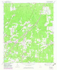
1964 Cannonville
Troup County, GA
1964 Hilyer
Troup County, GA
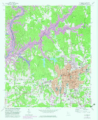
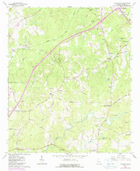
1964 La Grange
Troup County, GA
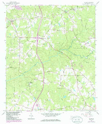
1964 Mountville
Troup County, GA
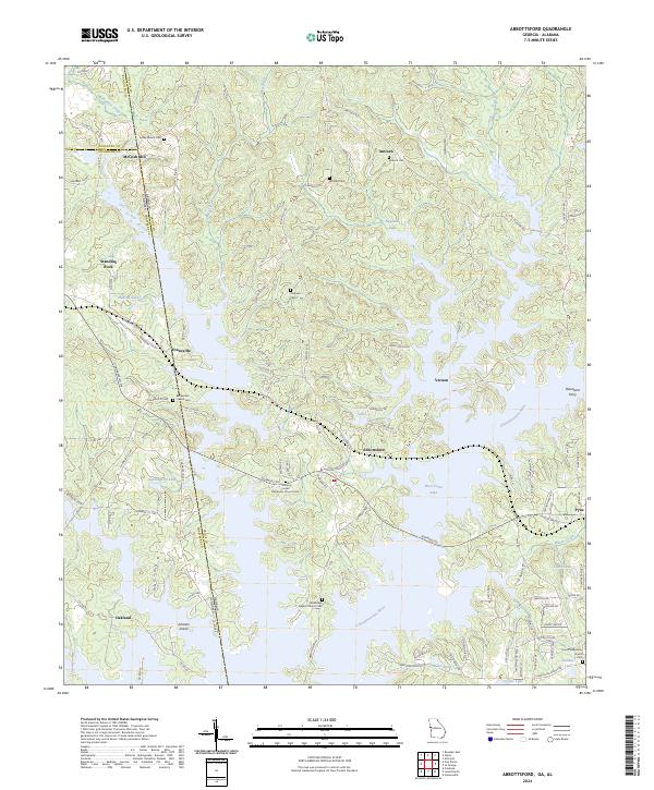
2024 Abbottsford
Troup County, GA
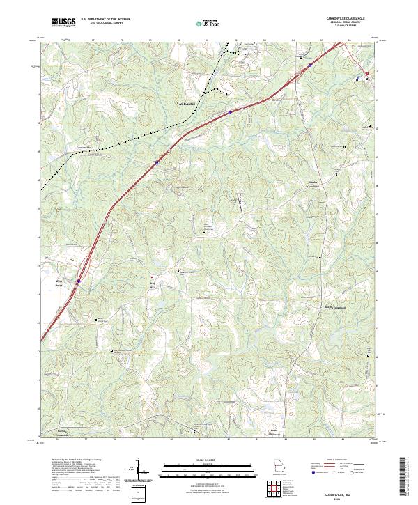
2024 Cannonville
Troup County, GA
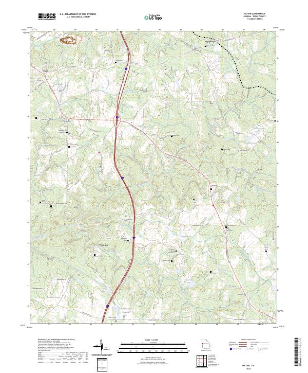
2024 Hilyer
Troup County, GA
2024 La Grange
Troup County, GA
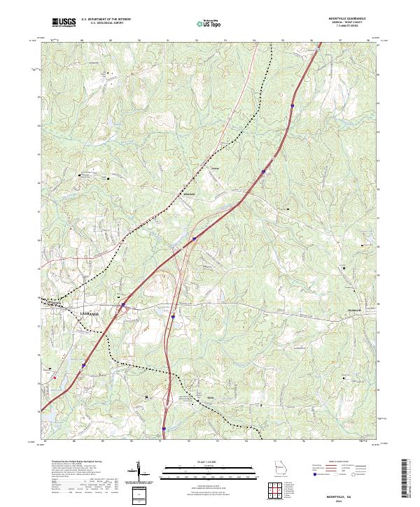
2024 Mountville
Troup County, GA