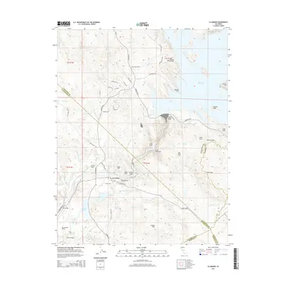
2015 Map of La Grange
USGS Topo · Published 2015About this map
La Grange serves as the focal point of this landscape where the Tuolumne River exits the Sierra Nevada foothills into the San Joaquin Valley. The terrain is deeply etched by a network of drainage systems, including Snake Ravine, Mill Gulch, and Morton Gulch, which illustrate the complex hydrology of the region. The infrastructure for water management and transit is prominent, featuring the La Grange Reservoir and the Basso Bridge crossing.
Find a feature on this map
68 named features on this map. Tap any name to fly to it.
Don’t see what you’re looking for? This feature index may not catch every label — zoom into the map to look around manually.
Map Details
Editions of this 2015 La Grange Map
This is the sole edition of this map. No revisions or reprints were ever made.
Other maps of this area

1893 · Sonora
USGS Topo · 1:125,000

1896 · Sonora
USGS Topo · 1:125,000

1897 · Sonora
USGS Topo · 1:125,000

1898 · Sonora
USGS Topo · 1:125,000

1913 · Dickenson
USGS Topo · 1:31,680

1915 · La Grange
USGS Topo · 1:24,000

1916 · Three Tree Flat
USGS Topo · 1:31,680

1916 · Cooperstown
USGS Topo · 1:31,680

1916 · Copperopolis
USGS Topo · 1:62,500

1916 · Merced Falls
USGS Topo · 1:24,000