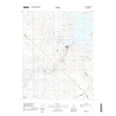
2018 Map of La Grange
USGS Topo · Published 2018About this map
La Grange stands as a focal point in this landscape where the San Joaquin Valley meets the rising foothills of the Sierra Nevada. The Tuolumne River carves a path through the center of the map, flanked by evidence of historical land use such as the French Pit and the rugged drainage of Snake Ravine. To the north, the massive Don Pedro Reservoir dominates the terrain, its waters reaching into canyons once defined by landmarks like Butcher Knife Pocket and Buzzard Point.
Find a feature on this map
69 named features on this map. Tap any name to fly to it.
Don’t see what you’re looking for? This feature index may not catch every label — zoom into the map to look around manually.
Map Details
Editions of this 2018 La Grange Map
This is the sole edition of this map. No revisions or reprints were ever made.
Other maps of this area

1893 · Sonora
USGS Topo · 1:125,000

1896 · Sonora
USGS Topo · 1:125,000

1897 · Sonora
USGS Topo · 1:125,000

1898 · Sonora
USGS Topo · 1:125,000

1913 · Dickenson
USGS Topo · 1:31,680

1915 · La Grange
USGS Topo · 1:24,000

1916 · Three Tree Flat
USGS Topo · 1:31,680

1916 · Cooperstown
USGS Topo · 1:31,680

1916 · Copperopolis
USGS Topo · 1:62,500

1916 · Merced Falls
USGS Topo · 1:24,000