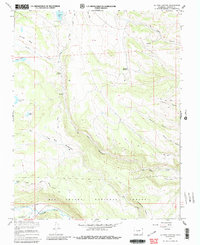
1967 Map of La Jara Canyon
USGS Topo · Published 1986About this map
Rio Grande National Forest encompasses this high-elevation landscape in southern Colorado, where the transition from high meadows to steep-walled canyons defines the local geography. The map documents the intricate drainage network of the Rio Grande River watershed, including the winding course of La Jara Creek and its many feeder canyons like Ra Jadero Canyon and Romero Canyon. Water management is a primary feature of the area, evidenced by the presence of the La Jara Res and Bluebird Reservoir, alongside natural features like the Chicago Bogs and Twin Lakes.
Find a feature on this map
30 named features on this map. Tap any name to fly to it.
Don’t see what you’re looking for? This feature index may not catch every label — zoom into the map to look around manually.
Map Details
Editions of this 1967 La Jara Canyon Map
4 editions found
Other maps of this area

1922 · Conejos
USGS Topo · 1:125,000

1945 · Durango
USGS Topo · 1:250,000

1953 · Durango
USGS Topo · 1:250,000

1954 · Durango
USGS Topo · 1:250,000

1961 · Durango
USGS Topo · 1:250,000

1963 · Durango
USGS Topo · 1:250,000

1966 · Durango
USGS Topo · 1:250,000
1967 · Osier
USGS Topo · 1:24,000
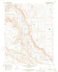
1967 · Spectacle Lake
USGS Topo · 1:24,000
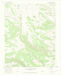
1967 · La Jara Canyon
USGS Topo · 1:24,000